Area Overview for BS10 6RT
Photos of BS10 6RT
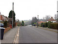
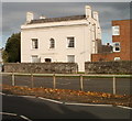
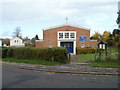
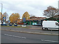
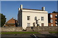
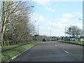
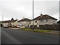
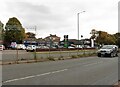
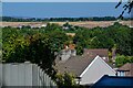
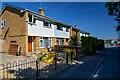
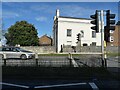
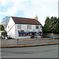
38 photos from this area
Area Information
Key information about the BS10 6RT including its size, population, and administrative classification.
- Area Type
- Postcode
- Area Size
- 1.1 hectares
- Population
- 2610
- Population Density
- 5164 people/km²
House Prices in BS10 6RT
28
Properties
£164,821
Average Sold Price
£44,000
Lowest Price
£290,250
Highest Price
Showing 28 properties
| Address | Type | Beds | Baths | Last Sale Price | Last Sale Date | |
|---|---|---|---|---|---|---|
| 51 Pine Road, Brentry, Bristol, BS10 6RT | Terraced | 2 | 1 | £280,000 | Jan 2025 | |
| 29 Pine Road, Brentry, Bristol, BS10 6RT | Terraced | 2 | 1 | £280,000 | Jan 2024 | |
| 53 Pine Road, Brentry, Bristol, BS10 6RT | Terraced | 2 | 1 | £280,000 | Apr 2023 | |
| 38 Pine Road, Brentry, Bristol, BS10 6RT | Semi-detached | 2 | 1 | £290,250 | Feb 2022 | |
| 48 Pine Road, Brentry, Bristol, BS10 6RT | Terraced | 2 | 1 | £250,000 | Dec 2020 | |
| 32 Pine Road, Brentry, Bristol, BS10 6RT | Terraced | 2 | 1 | £234,000 | Dec 2019 | |
| 46 Pine Road, Brentry, Bristol, BS10 6RT | Terraced | 2 | 1 | £222,500 | Apr 2018 | |
| 47 Pine Road, Brentry, Bristol, BS10 6RT | Terraced | 1 | 1 | £158,500 | Jul 2016 | |
| 39 Pine Road, Brentry, Bristol, BS10 6RT | house | 2 | - | £192,500 | Jan 2016 | |
| 37 Pine Road, Brentry, Bristol, BS10 6RT | house | 2 | - | £169,950 | Jun 2014 |
Page 1 of 3
Energy Efficiency in BS10 6RT
Amenities
Schools
| Rank | School | Type | Entry gender | Ages |
|---|
Explore more schools in this area
Go to Schools tabDemographics
Household Size
Family (3-5 people)
most common
Accommodation Type
Houses
most common
Tenure
59
majority
Ethnic Group
White
most common
Religion
N/A
most common
Household Composition
N/A
most common
Age
47
median
Adults (30-64 years)
most common
Household Deprivation
N/A
with no deprivation
NS-SEC
35
in Lower managerial occupations
Explore more demographic insights in this area
Go to Demographics tabPlanning
Planning Constraints
- Flood RiskPremium
- Ramsar Wetland SitesPremium
- Area of Outstanding Natural BeautyPremium
- Protected Nature ReservePremium
- Protected WoodlandPremium