Area Overview for BS10 6NR
Photos of BS10 6NR
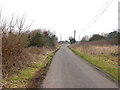
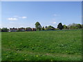
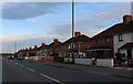
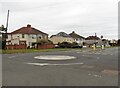
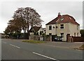

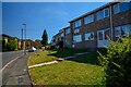

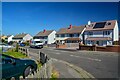
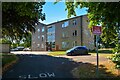
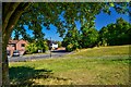
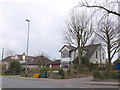
24 photos from this area
Area Information
Key information about the BS10 6NR including its size, population, and administrative classification.
- Area Type
- Postcode
- Area Size
- 2.1 hectares
- Population
- 1720
- Population Density
- 5102 people/km²
House Prices in BS10 6NR
18
Properties
£107,590
Average Sold Price
£60,000
Lowest Price
£127,000
Highest Price
Showing 18 properties
| Address | Type | Beds | Baths | Last Sale Price | Last Sale Date | |
|---|---|---|---|---|---|---|
| 2, Rock House, Charlton Road, Brentry, Bristol, BS10 6NR | Flat | - | - | £109,950 | Nov 2014 | |
| 15, Rock House, Charlton Road, Brentry, Bristol, BS10 6NR | Flat | - | - | £127,000 | Jan 2007 | |
| 8, Rock House, Charlton Road, Brentry, Bristol, BS10 6NR | Flat | - | - | £116,000 | Jul 2006 | |
| 18, Rock House, Charlton Road, Brentry, Bristol, BS10 6NR | Flat | - | - | £125,000 | Jul 2005 | |
| 5, Rock House, Charlton Road, Brentry, Bristol, BS10 6NR | Flat | - | - | £60,000 | Nov 2001 | |
| 9, Rock House, Charlton Road, Brentry, Bristol, BS10 6NR | Flat | - | - | - | - | |
| 3, Rock House, Charlton Road, Brentry, Bristol, BS10 6NR | Flat | - | - | - | - | |
| 6, Rock House, Charlton Road, Brentry, Bristol, BS10 6NR | Flat | - | - | - | - | |
| 12, Rock House, Charlton Road, Brentry, Bristol, BS10 6NR | Flat | - | - | - | - | |
| 1, Rock House, Charlton Road, Brentry, Bristol, BS10 6NR | Flat | - | - | - | - |
Page 1 of 2
Energy Efficiency in BS10 6NR
Amenities
Schools
| Rank | School | Type | Entry gender | Ages |
|---|
Explore more schools in this area
Go to Schools tabDemographics
Household Size
Family (3-5 people)
most common
Accommodation Type
Houses
most common
Tenure
54
majority
Ethnic Group
White
most common
Religion
N/A
most common
Household Composition
N/A
most common
Age
47
median
Adults (30-64 years)
most common
Household Deprivation
N/A
with no deprivation
NS-SEC
23
in Lower managerial occupations
Explore more demographic insights in this area
Go to Demographics tabPlanning
Planning Constraints
- Flood RiskPremium
- Ramsar Wetland SitesPremium
- Area of Outstanding Natural BeautyPremium
- Protected Nature ReservePremium
- Protected WoodlandPremium