Area Overview for BS10 5JL
Photos of BS10 5JL
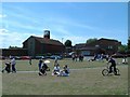
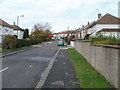
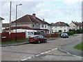
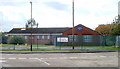
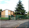
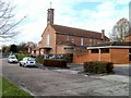
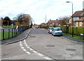
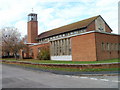
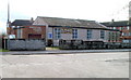
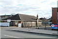
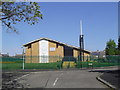
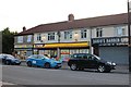
71 photos from this area
Area Information
Key information about the BS10 5JL including its size, population, and administrative classification.
- Area Type
- Postcode
- Area Size
- 9369 m²
- Population
- 1890
- Population Density
- 7667 people/km²
House Prices in BS10 5JL
33
Properties
£147,077
Average Sold Price
£51,450
Lowest Price
£385,000
Highest Price
Showing 33 properties
| Address | Type | Beds | Baths | Last Sale Price | Last Sale Date | |
|---|---|---|---|---|---|---|
| 34 Coleford Road, Southmead, Bristol, BS10 5JL | Terraced | 3 | 2 | £385,000 | Dec 2024 | |
| 44 Coleford Road, Southmead, Bristol, BS10 5JL | house | - | - | £245,000 | Oct 2020 | |
| 64 Coleford Road, Southmead, Bristol, BS10 5JL | house | - | - | £108,500 | Mar 2017 | |
| 72 Coleford Road, Southmead, Bristol, BS10 5JL | Detached | 3 | 1 | £125,897 | May 2013 | |
| 70 Coleford Road, Southmead, Bristol, BS10 5JL | Semi-detached | - | - | £51,450 | Aug 2012 | |
| 86 Coleford Road, Southmead, Bristol, BS10 5JL | house | - | - | £130,500 | Jul 2010 | |
| 32 Coleford Road, Southmead, Bristol, BS10 5JL | house | 3 | 2 | £54,000 | Apr 2010 | |
| 24 Coleford Road, Southmead, Bristol, BS10 5JL | Terraced | - | - | £128,000 | May 2007 | |
| 48 Coleford Road, Southmead, Bristol, BS10 5JL | Semi-detached | - | - | £145,000 | Dec 2006 | |
| 62 Coleford Road, Southmead, Bristol, BS10 5JL | house | 3 | 1 | £120,000 | Nov 2006 |
Page 1 of 4
Energy Efficiency in BS10 5JL
Amenities
Schools
| Rank | School | Type | Entry gender | Ages |
|---|
Explore more schools in this area
Go to Schools tabDemographics
Household Size
Family (3-5 people)
most common
Accommodation Type
Houses
most common
Tenure
38
majority
Ethnic Group
White
most common
Religion
N/A
most common
Household Composition
N/A
most common
Age
47
median
Adults (30-64 years)
most common
Household Deprivation
N/A
with no deprivation
NS-SEC
22
in Lower managerial occupations
Explore more demographic insights in this area
Go to Demographics tabPlanning
Planning Constraints
- Flood RiskPremium
- Ramsar Wetland SitesPremium
- Area of Outstanding Natural BeautyPremium
- Protected Nature ReservePremium
- Protected WoodlandPremium