Area Overview for BH9 3ET
Photos of BH9 3ET
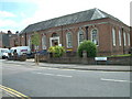
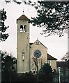

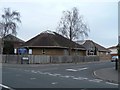
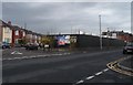
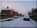
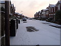
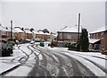
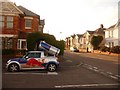
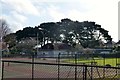
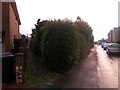
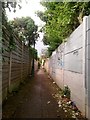
87 photos from this area
Area Information
Key information about the BH9 3ET including its size, population, and administrative classification.
- Area Type
- Postcode
- Area Size
- 1.6 hectares
- Population
- 1669
- Population Density
- 6188 people/km²
House Prices in BH9 3ET
55
Properties
£173,118
Average Sold Price
£54,000
Lowest Price
£280,000
Highest Price
Showing 55 properties
| Address | Type | Beds | Baths | Last Sale Price | Last Sale Date | |
|---|---|---|---|---|---|---|
| 25 Luckham Road, Bournemouth, BH9 3ET | Semi-detached | 3 | 1 | £275,000 | Dec 2019 | |
| 22 Luckham Road, Bournemouth, BH9 3ET | Semi-detached | 3 | 2 | £280,000 | Sep 2019 | |
| 35 Luckham Road, Bournemouth, BH9 3ET | house | - | - | £260,000 | Dec 2017 | |
| 4 Luckham Road, Bournemouth, BH9 3ET | Flat | - | - | £171,500 | Jun 2017 | |
| 36 Luckham Road, Bournemouth, BH9 3ET | Detached | 3 | 1 | £221,000 | Jan 2017 | |
| 39 Luckham Road, Bournemouth, BH9 3ET | house | - | - | £195,000 | Jun 2015 | |
| 23 Luckham Road, Bournemouth, BH9 3ET | Semi-detached | 3 | - | £205,000 | Mar 2015 | |
| 32 Luckham Road, Bournemouth, BH9 3ET | Semi-detached | 3 | - | £187,000 | Jun 2013 | |
| 44 Luckham Road, Bournemouth, BH9 3ET | house | 3 | - | £181,500 | Sep 2010 | |
| 30 Luckham Road, Bournemouth, BH9 3ET | house | - | - | £160,000 | Feb 2009 |
Page 1 of 6
Energy Efficiency in BH9 3ET
Amenities
Schools
| Rank | School | Type | Entry gender | Ages |
|---|
Explore more schools in this area
Go to Schools tabDemographics
Household Size
Family (3-5 people)
most common
Accommodation Type
Houses
most common
Tenure
69
majority
Ethnic Group
White
most common
Religion
N/A
most common
Household Composition
N/A
most common
Age
47
median
Adults (30-64 years)
most common
Household Deprivation
N/A
with no deprivation
NS-SEC
32
in Lower managerial occupations
Explore more demographic insights in this area
Go to Demographics tabPlanning
Planning Constraints
- Flood RiskPremium
- Ramsar Wetland SitesPremium
- Area of Outstanding Natural BeautyPremium
- Protected Nature ReservePremium
- Protected WoodlandPremium