Area Overview for BH9 2QZ
Photos of BH9 2QZ

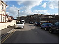
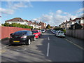
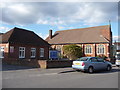
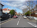
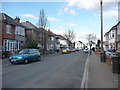
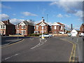
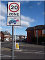
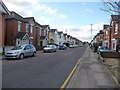
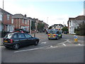
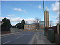
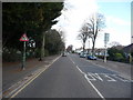
100 photos from this area
Area Information
Key information about the BH9 2QZ including its size, population, and administrative classification.
- Area Type
- Postcode
- Area Size
- 9639 m²
- Population
- Not available
- Population Density
- Not available
House Prices in BH9 2QZ
16
Properties
£298,375
Average Sold Price
£98,000
Lowest Price
£525,000
Highest Price
Showing 16 properties
| Address | Type | Beds | Baths | Last Sale Price | Last Sale Date | |
|---|---|---|---|---|---|---|
| 77 Namu Road, Bournemouth, BH9 2QZ | house | - | - | £430,000 | Feb 2024 | |
| 74 Namu Road, Bournemouth, BH9 2QZ | house | - | - | £525,000 | Dec 2021 | |
| 79 Namu Road, Bournemouth, BH9 2QZ | Bungalow | - | - | £402,000 | Jul 2019 | |
| 75 Namu Road, Bournemouth, BH9 2QZ | house | - | - | £360,000 | Aug 2016 | |
| 81 Namu Road, Bournemouth, BH9 2QZ | Detached | - | - | £360,000 | Mar 2016 | |
| 76 Namu Road, Bournemouth, BH9 2QZ | Detached | 4 | 1 | £332,000 | Jun 2015 | |
| 65 Namu Road, Bournemouth, BH9 2QZ | house | 3 | - | £310,000 | Jun 2014 | |
| 78 Namu Road, Bournemouth, BH9 2QZ | Detached | - | - | £347,000 | Dec 2008 | |
| 67 Namu Road, Bournemouth, BH9 2QZ | Detached | - | - | £125,000 | Jan 2004 | |
| 70 Namu Road, Bournemouth, BH9 2QZ | Detached | - | - | £165,000 | Jun 2001 |
Page 1 of 2
Energy Efficiency in BH9 2QZ
Amenities
Schools
| Rank | School | Type | Entry gender | Ages |
|---|
Explore more schools in this area
Go to Schools tabDemographics
Household Size
Family (3-5 people)
most common
Accommodation Type
Houses
most common
Tenure
58
majority
Ethnic Group
White
most common
Religion
N/A
most common
Household Composition
N/A
most common
Age
22
median
Young Adults (15-29 years)
most common
Household Deprivation
N/A
with no deprivation
NS-SEC
25
in Lower managerial occupations
Explore more demographic insights in this area
Go to Demographics tabPlanning
Planning Constraints
- Flood RiskPremium
- Ramsar Wetland SitesPremium
- Area of Outstanding Natural BeautyPremium
- Protected Nature ReservePremium
- Protected WoodlandPremium