Area Overview for BH9 2NX
Photos of BH9 2NX
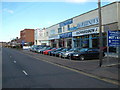
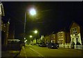
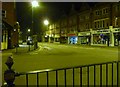
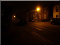

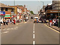
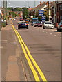
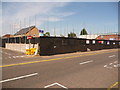
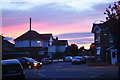
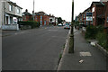
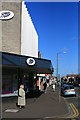
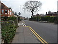
100 photos from this area
Area Information
Key information about the BH9 2NX including its size, population, and administrative classification.
- Area Type
- Postcode
- Area Size
- 3068 m²
- Population
- Not available
- Population Density
- Not available
House Prices in BH9 2NX
9
Properties
£296,833
Average Sold Price
£125,000
Lowest Price
£405,000
Highest Price
Showing 9 properties
| Address | Type | Beds | Baths | Last Sale Price | Last Sale Date | |
|---|---|---|---|---|---|---|
| 81 Withermoor Road, Bournemouth, BH9 2NX | Detached | 4 | 1 | £375,000 | Dec 2023 | |
| 93 Withermoor Road, Bournemouth, BH9 2NX | house | 4 | - | £395,000 | May 2021 | |
| 85 Withermoor Road, Bournemouth, BH9 2NX | Detached | 5 | 2 | £405,000 | Jul 2019 | |
| 91 Withermoor Road, Bournemouth, BH9 2NX | Detached | 3 | 2 | £270,000 | Apr 2019 | |
| 87 Withermoor Road, Bournemouth, BH9 2NX | Detached | 4 | 2 | £211,000 | Sep 2013 | |
| 83 Withermoor Road, Bournemouth, BH9 2NX | Detached | 3 | 1 | £125,000 | Jul 2000 | |
| John Hobby Painter And Decorator, 79 Withermoor Road, Bournemouth, BH9 2NX | Office | - | - | - | - | |
| 79 Withermoor Road, Bournemouth, BH9 2NX | Detached | 6 | 2 | - | - | |
| 89 Withermoor Road, Bournemouth, BH9 2NX | Detached | - | - | - | - |
Energy Efficiency in BH9 2NX
Amenities
Schools
| Rank | School | Type | Entry gender | Ages |
|---|
Explore more schools in this area
Go to Schools tabDemographics
Household Size
Family (3-5 people)
most common
Accommodation Type
Flats
most common
Tenure
31
majority
Ethnic Group
White
most common
Religion
N/A
most common
Household Composition
N/A
most common
Age
22
median
Young Adults (15-29 years)
most common
Household Deprivation
N/A
with no deprivation
NS-SEC
15
in Lower managerial occupations
Explore more demographic insights in this area
Go to Demographics tabPlanning
Planning Constraints
- Flood RiskPremium
- Ramsar Wetland SitesPremium
- Area of Outstanding Natural BeautyPremium
- Protected Nature ReservePremium
- Protected WoodlandPremium