Area Overview for BH9 1NH
Photos of BH9 1NH
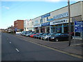
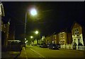
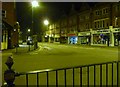
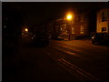
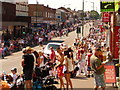
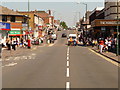
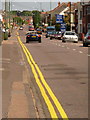
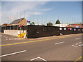
100 photos from this area
Area Information
Key information about the BH9 1NH including its size, population, and administrative classification.
- Area Type
- Postcode
- Area Size
- 4436 m²
- Population
- 1720
- Population Density
- 9178 people/km²
House Prices in BH9 1NH
19
Properties
£150,715
Average Sold Price
£55,000
Lowest Price
£275,000
Highest Price
Showing 19 properties
| Address | Type | Beds | Baths | Last Sale Price | Last Sale Date | |
|---|---|---|---|---|---|---|
| 5 Muscliffe Road, Bournemouth, BH9 1NH | Detached | 3 | - | £275,000 | Apr 2015 | |
| 9 Muscliffe Road, Bournemouth, BH9 1NH | house | 2 | 1 | £146,300 | Mar 2014 | |
| 7 Muscliffe Road, Bournemouth, BH9 1NH | Detached | - | - | £220,000 | Nov 2010 | |
| 9C Muscliffe Road, Bournemouth, BH9 1NH | house | 2 | - | £140,000 | Aug 2009 | |
| 9A Muscliffe Road, Bournemouth, BH9 1NH | Terraced | 2 | 1 | £175,000 | Mar 2009 | |
| 9B Muscliffe Road, Bournemouth, BH9 1NH | house | 2 | 1 | £175,000 | Dec 2008 | |
| 1 Muscliffe Road, Bournemouth, BH9 1NH | Detached | 5 | 2 | £212,000 | May 2006 | |
| 4 Muscliffe Road, Bournemouth, BH9 1NH | Detached | 3 | 1 | £190,000 | Nov 2005 | |
| 6 Muscliffe Road, Bournemouth, BH9 1NH | Detached | 4 | 1 | £130,000 | Dec 2001 | |
| 12 Muscliffe Road, Bournemouth, BH9 1NH | Semi-detached | - | - | £94,000 | Apr 2001 |
Page 1 of 2
Energy Efficiency in BH9 1NH
Amenities
Schools
| Rank | School | Type | Entry gender | Ages |
|---|
Explore more schools in this area
Go to Schools tabDemographics
Household Size
Family (3-5 people)
most common
Accommodation Type
Houses
most common
Tenure
56
majority
Ethnic Group
White
most common
Religion
N/A
most common
Household Composition
N/A
most common
Age
47
median
Adults (30-64 years)
most common
Household Deprivation
N/A
with no deprivation
NS-SEC
27
in Lower managerial occupations
Explore more demographic insights in this area
Go to Demographics tabPlanning
Planning Constraints
- Flood RiskPremium
- Ramsar Wetland SitesPremium
- Area of Outstanding Natural BeautyPremium
- Protected Nature ReservePremium
- Protected WoodlandPremium