Area Overview for BH8 0PZ
Photos of BH8 0PZ
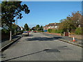
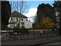
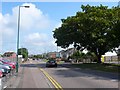
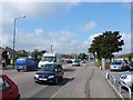
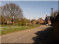
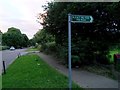
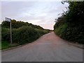
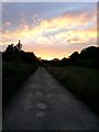
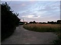
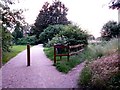
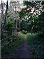
86 photos from this area
Area Information
Key information about the BH8 0PZ including its size, population, and administrative classification.
- Area Type
- Postcode
- Area Size
- 8611 m²
- Population
- 1113
- Population Density
- 674 people/km²
House Prices in BH8 0PZ
18
Properties
£415,050
Average Sold Price
£139,950
Lowest Price
£825,000
Highest Price
Showing 18 properties
| Address | Type | Beds | Baths | Last Sale Price | Last Sale Date | |
|---|---|---|---|---|---|---|
| 8 Taylor Drive, Bournemouth, BH8 0PZ | Terraced | 3 | 2 | £435,000 | Nov 2025 | |
| 12 Taylor Drive, Bournemouth, BH8 0PZ | house | 6 | 5 | £825,000 | Oct 2024 | |
| 34 Taylor Drive, Bournemouth, BH8 0PZ | Detached | 4 | - | £730,000 | Feb 2023 | |
| 14 Taylor Drive, Bournemouth, BH8 0PZ | Detached | 4 | 2 | £610,000 | Apr 2021 | |
| 6 Taylor Drive, Bournemouth, BH8 0PZ | Terraced | 3 | 2 | £435,000 | Sep 2020 | |
| 36 Taylor Drive, Bournemouth, BH8 0PZ | house | - | - | £670,000 | Apr 2020 | |
| 2 Taylor Drive, Bournemouth, BH8 0PZ | Detached | 4 | 2 | £445,000 | Sep 2015 | |
| 16 Taylor Drive, Bournemouth, BH8 0PZ | Semi-detached | - | - | £395,000 | Sep 2006 | |
| 28 Taylor Drive, Bournemouth, BH8 0PZ | Detached | - | - | £375,000 | Apr 2006 | |
| 4 Taylor Drive, Bournemouth, BH8 0PZ | Detached | 6 | 4 | £475,000 | Mar 2006 |
Page 1 of 2
Energy Efficiency in BH8 0PZ
Amenities
Schools
| Rank | School | Type | Entry gender | Ages |
|---|
Explore more schools in this area
Go to Schools tabDemographics
Household Size
Two person
most common
Accommodation Type
Houses
most common
Tenure
70
majority
Ethnic Group
White
most common
Religion
N/A
most common
Household Composition
N/A
most common
Age
47
median
Adults (30-64 years)
most common
Household Deprivation
N/A
with no deprivation
NS-SEC
36
in Lower managerial occupations
Explore more demographic insights in this area
Go to Demographics tabPlanning
Planning Constraints
- Flood RiskPremium
- Ramsar Wetland SitesPremium
- Area of Outstanding Natural BeautyPremium
- Protected Nature ReservePremium
- Protected WoodlandPremium