Area Overview for BH8 0AG
Photos of BH8 0AG
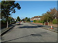
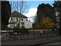
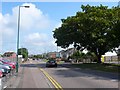
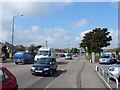
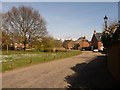
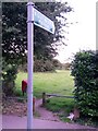
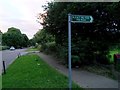
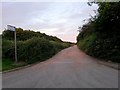
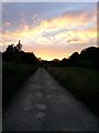
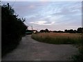
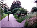
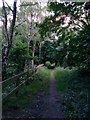
86 photos from this area
Area Information
Key information about the BH8 0AG including its size, population, and administrative classification.
- Area Type
- Postcode
- Area Size
- 8408 m²
- Population
- 1633
- Population Density
- 5834 people/km²
House Prices in BH8 0AG
17
Properties
£307,301
Average Sold Price
£114,950
Lowest Price
£580,000
Highest Price
Showing 17 properties
| Address | Type | Beds | Baths | Last Sale Price | Last Sale Date | |
|---|---|---|---|---|---|---|
| 90 Broadway Lane, Bournemouth, BH8 0AG | Bungalow | 2 | 1 | £410,000 | Dec 2024 | |
| 58 Broadway Lane, Bournemouth, BH8 0AG | Detached | 3 | 3 | £580,000 | Jan 2024 | |
| 80 Broadway Lane, Bournemouth, BH8 0AG | Bungalow | - | - | £362,000 | Nov 2020 | |
| 72 Broadway Lane, Bournemouth, BH8 0AG | Bungalow | 3 | 1 | £290,000 | May 2018 | |
| 84 Broadway Lane, Bournemouth, BH8 0AG | house | - | - | £408,664 | Jul 2016 | |
| 78 Broadway Lane, Bournemouth, BH8 0AG | Detached | 3 | - | £320,000 | Aug 2015 | |
| 82 Broadway Lane, Bournemouth, BH8 0AG | Detached | 4 | 2 | £282,000 | Sep 2014 | |
| 68 Broadway Lane, Bournemouth, BH8 0AG | house | 3 | - | £250,000 | Apr 2013 | |
| 70 Broadway Lane, Bournemouth, BH8 0AG | Bungalow | 3 | - | £220,000 | Jan 2013 | |
| 76 Broadway Lane, Bournemouth, BH8 0AG | Bungalow | 3 | - | £290,000 | Dec 2012 |
Page 1 of 2
Energy Efficiency in BH8 0AG
Amenities
Schools
| Rank | School | Type | Entry gender | Ages |
|---|
Explore more schools in this area
Go to Schools tabDemographics
Household Size
Family (3-5 people)
most common
Accommodation Type
Houses
most common
Tenure
73
majority
Ethnic Group
White
most common
Religion
N/A
most common
Household Composition
N/A
most common
Age
47
median
Adults (30-64 years)
most common
Household Deprivation
N/A
with no deprivation
NS-SEC
34
in Lower managerial occupations
Explore more demographic insights in this area
Go to Demographics tabPlanning
Planning Constraints
- Flood RiskPremium
- Ramsar Wetland SitesPremium
- Area of Outstanding Natural BeautyPremium
- Protected Nature ReservePremium
- Protected WoodlandPremium