Area Overview for BH7 6LU
Photos of BH7 6LU
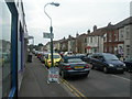

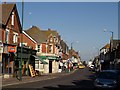
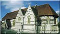
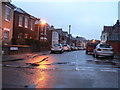
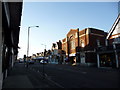
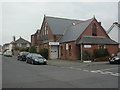

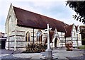
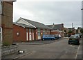
100 photos from this area
Area Information
Key information about the BH7 6LU including its size, population, and administrative classification.
- Area Type
- Postcode
- Area Size
- 1.4 hectares
- Population
- 1792
- Population Density
- 126537 people/km²
House Prices in BH7 6LU
35
Properties
£234,192
Average Sold Price
£47,000
Lowest Price
£465,000
Highest Price
Showing 35 properties
| Address | Type | Beds | Baths | Last Sale Price | Last Sale Date | |
|---|---|---|---|---|---|---|
| 52A Leaphill Road, Bournemouth, BH7 6LU | Flat | 1 | - | £185,000 | Oct 2024 | |
| 28A Leaphill Road, Bournemouth, BH7 6LU | Semi-detached | 3 | 1 | £330,000 | Sep 2024 | |
| 2 Leaphill Road, Bournemouth, BH7 6LU | house | 4 | 1 | £425,000 | Jul 2024 | |
| 4 Leaphill Road, Bournemouth, BH7 6LU | house | 3 | 4 | £465,000 | Sep 2023 | |
| 20A Leaphill Road, Bournemouth, BH7 6LU | Flat | 2 | 1 | £250,000 | Oct 2022 | |
| 40A Leaphill Road, Bournemouth, BH7 6LU | Flat | - | - | £252,500 | Jun 2021 | |
| 60 Leaphill Road, Bournemouth, BH7 6LU | Semi-detached | 3 | 1 | £352,000 | Mar 2021 | |
| 22 Leaphill Road, Bournemouth, BH7 6LU | house | - | - | £275,000 | Jun 2019 | |
| 58 Leaphill Road, Bournemouth, BH7 6LU | Semi-detached | 3 | 2 | £320,000 | Jun 2019 | |
| 52 Leaphill Road, Bournemouth, BH7 6LU | Flat | - | - | £165,000 | Jan 2018 |
Page 1 of 4
Energy Efficiency in BH7 6LU
Amenities
Schools
| Rank | School | Type | Entry gender | Ages |
|---|
Explore more schools in this area
Go to Schools tabDemographics
Household Size
Family (3-5 people)
most common
Accommodation Type
Houses
most common
Tenure
62
majority
Ethnic Group
White
most common
Religion
N/A
most common
Household Composition
N/A
most common
Age
47
median
Adults (30-64 years)
most common
Household Deprivation
N/A
with no deprivation
NS-SEC
32
in Lower managerial occupations
Explore more demographic insights in this area
Go to Demographics tabPlanning
Planning Constraints
- Flood RiskPremium
- Ramsar Wetland SitesPremium
- Area of Outstanding Natural BeautyPremium
- Protected Nature ReservePremium
- Protected WoodlandPremium