Area Overview for BH31 6PN
Photos of BH31 6PN
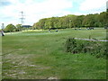
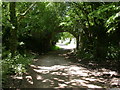
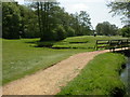
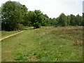
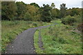
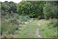
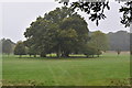
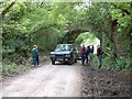
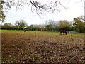
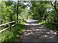
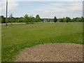
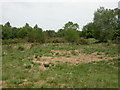
17 photos from this area
Area Information
Key information about the BH31 6PN including its size, population, and administrative classification.
- Area Type
- Postcode
- Area Size
- 4.8 hectares
- Population
- 1476
- Population Density
- 2972 people/km²
House Prices in BH31 6PN
26
Properties
£367,558
Average Sold Price
£180,000
Lowest Price
£635,000
Highest Price
Showing 26 properties
| Address | Type | Beds | Baths | Last Sale Price | Last Sale Date | |
|---|---|---|---|---|---|---|
| 70 Dewlands Road, Verwood, BH31 6PN | Bungalow | 2 | 1 | £410,000 | Jun 2025 | |
| 92 Dewlands Road, Verwood, BH31 6PN | house | - | - | £635,000 | Feb 2023 | |
| 34 Dewlands Road, Verwood, BH31 6PN | Bungalow | - | - | £480,000 | Aug 2022 | |
| Four Winds, Dewlands Road, Verwood, BH31 6PN | house | - | - | £390,000 | Mar 2021 | |
| 98 Dewlands Road, Verwood, BH31 6PN | Detached | 4 | 2 | £460,000 | Nov 2018 | |
| 38 Dewlands Road, Verwood, BH31 6PN | Bungalow | - | - | £395,000 | Aug 2016 | |
| 88 Dewlands Road, Verwood, BH31 6PN | Bungalow | - | - | £425,000 | Jun 2015 | |
| 94 Dewlands Road, Verwood, BH31 6PN | Bungalow | 4 | - | £335,000 | Jul 2013 | |
| 80 Dewlands Road, Verwood, BH31 6PN | house | - | - | £472,500 | Oct 2012 | |
| 32 Dewlands Road, Verwood, BH31 6PN | Bungalow | 4 | - | £330,000 | Oct 2010 |
Page 1 of 3
Energy Efficiency in BH31 6PN
Amenities
Schools
| Rank | School | Type | Entry gender | Ages |
|---|
Explore more schools in this area
Go to Schools tabDemographics
Household Size
Two person
most common
Accommodation Type
Houses
most common
Tenure
90
majority
Ethnic Group
White
most common
Religion
N/A
most common
Household Composition
N/A
most common
Age
47
median
Adults (30-64 years)
most common
Household Deprivation
N/A
with no deprivation
NS-SEC
41
in Lower managerial occupations
Explore more demographic insights in this area
Go to Demographics tabPlanning
Planning Constraints
- Flood RiskPremium
- Ramsar Wetland SitesPremium
- Area of Outstanding Natural BeautyPremium
- Protected Nature ReservePremium
- Protected WoodlandPremium