Area Overview for BH24 2QP
Photos of BH24 2QP
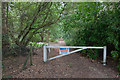
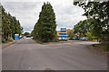
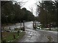
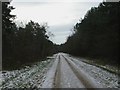
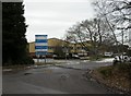
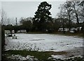
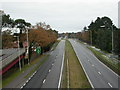
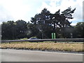
41 photos from this area
Area Information
Key information about the BH24 2QP including its size, population, and administrative classification.
- Area Type
- Postcode
- Area Size
- 1.8 hectares
- Population
- 2498
- Population Density
- 817 people/km²
House Prices in BH24 2QP
12
Properties
£397,250
Average Sold Price
£162,500
Lowest Price
£485,000
Highest Price
Showing 12 properties
| Address | Type | Beds | Baths | Last Sale Price | Last Sale Date | |
|---|---|---|---|---|---|---|
| 7 Oaks Drive, St Leonards And St Ives, BH24 2QP | Detached | 5 | 2 | £425,000 | Aug 2025 | |
| 1 Oaks Drive, St Leonards And St Ives, BH24 2QP | Detached | 3 | 2 | £435,000 | Jun 2021 | |
| 9 Oaks Drive, St Leonards And St Ives, BH24 2QP | Bungalow | 4 | 3 | £475,000 | Sep 2019 | |
| 5A Oaks Drive, St Leonards And St Ives, BH24 2QP | Retail | 3 | 2 | £485,000 | Jan 2019 | |
| 11 Oaks Drive, St Leonards And St Ives, BH24 2QP | Bungalow | 4 | 3 | £480,000 | Dec 2018 | |
| 4 Oaks Drive, St Leonards And St Ives, BH24 2QP | Detached | 4 | 2 | £465,000 | Apr 2013 | |
| 6 Oaks Drive, St Leonards And St Ives, BH24 2QP | Detached | - | - | £320,000 | May 2006 | |
| 3 Oaks Drive, St Leonards And St Ives, BH24 2QP | Bungalow | 4 | 3 | £355,000 | Sep 2004 | |
| 2 Oaks Drive, St Leonards And St Ives, BH24 2QP | Detached | 3 | 1 | £370,000 | Apr 2004 | |
| 5 Oaks Drive, St Leonards And St Ives, BH24 2QP | Bungalow | - | - | £162,500 | Sep 1999 |
Page 1 of 2
Energy Efficiency in BH24 2QP
Amenities
Schools
| Rank | School | Type | Entry gender | Ages |
|---|
Explore more schools in this area
Go to Schools tabDemographics
Household Size
Two person
most common
Accommodation Type
Houses
most common
Tenure
96
majority
Ethnic Group
White
most common
Religion
N/A
most common
Household Composition
N/A
most common
Age
47
median
Elderly (65+ years)
most common
Household Deprivation
N/A
with no deprivation
NS-SEC
47
in Lower managerial occupations
Explore more demographic insights in this area
Go to Demographics tabPlanning
Planning Constraints
- Flood RiskPremium
- Ramsar Wetland SitesPremium
- Area of Outstanding Natural BeautyPremium
- Protected Nature ReservePremium
- Protected WoodlandPremium