Area Overview for BH24 2NU
Photos of BH24 2NU
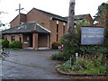
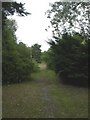
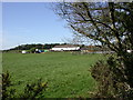
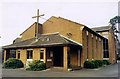
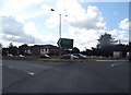
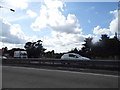
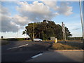
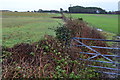
37 photos from this area
Area Information
Key information about the BH24 2NU including its size, population, and administrative classification.
- Area Type
- Postcode
- Area Size
- 6003 m²
- Population
- 2498
- Population Density
- 817 people/km²
House Prices in BH24 2NU
5
Properties
£353,000
Average Sold Price
£274,000
Lowest Price
£445,000
Highest Price
Showing 5 properties
| Address | Type | Beds | Baths | Last Sale Price | Last Sale Date | |
|---|---|---|---|---|---|---|
| Conway, Garden Lane, St Leonards And St Ives, BH24 2NU | Detached | 4 | 2 | £445,000 | Mar 2025 | |
| High Ridge, Garden Lane, St Leonards And St Ives, BH24 2NU | Detached | 5 | 2 | £340,000 | Jun 2003 | |
| Bluebirds, Garden Lane, St Leonards And St Ives, BH24 2NU | Detached | 3 | 3 | £274,000 | Jul 2002 | |
| Silver Birch, Garden Lane, St Leonards And St Ives, BH24 2NU | Detached | - | - | - | - | |
| Fir Cot, Garden Lane, St Leonards And St Ives, BH24 2NU | Detached | - | - | - | - |
Energy Efficiency in BH24 2NU
Amenities
Schools
| Rank | School | Type | Entry gender | Ages |
|---|
Explore more schools in this area
Go to Schools tabDemographics
Household Size
Two person
most common
Accommodation Type
Houses
most common
Tenure
96
majority
Ethnic Group
White
most common
Religion
N/A
most common
Household Composition
N/A
most common
Age
47
median
Elderly (65+ years)
most common
Household Deprivation
N/A
with no deprivation
NS-SEC
47
in Lower managerial occupations
Explore more demographic insights in this area
Go to Demographics tabPlanning
Planning Constraints
- Flood RiskPremium
- Ramsar Wetland SitesPremium
- Area of Outstanding Natural BeautyPremium
- Protected Nature ReservePremium
- Protected WoodlandPremium