Area Overview for BH23 7JU
Photos of BH23 7JU
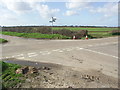
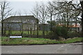
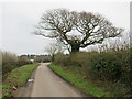
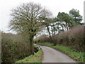
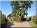
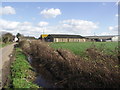
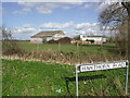
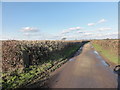
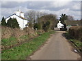
22 photos from this area
Area Information
Key information about the BH23 7JU including its size, population, and administrative classification.
- Area Type
- Postcode
- Area Size
- 17.3 hectares
- Population
- 1328
- Population Density
- 225 people/km²
House Prices in BH23 7JU
9
Properties
£458,917
Average Sold Price
£282,000
Lowest Price
£615,000
Highest Price
Showing 9 properties
| Address | Type | Beds | Baths | Last Sale Price | Last Sale Date | |
|---|---|---|---|---|---|---|
| Tucks Fold, 9 Preston Lane, Christchurch, BH23 7JU | house | - | - | £524,999 | Jan 2021 | |
| Broadwood, 5 Preston Lane, Christchurch, BH23 7JU | house | 3 | 3 | £615,000 | Nov 2018 | |
| Beggars Roost, 6 Preston Lane, Christchurch, BH23 7JU | Detached | 5 | 3 | £582,500 | Dec 2013 | |
| 4 Preston Lane, Christchurch, BH23 7JU | house | 3 | - | £320,000 | May 2013 | |
| 3 Preston Lane, Christchurch, BH23 7JU | house | - | - | £282,000 | Feb 2012 | |
| 1 Preston Lane, Christchurch, BH23 7JU | Bungalow | 5 | 2 | £429,000 | Feb 2008 | |
| 2 Preston Lane, Christchurch, BH23 7JU | Bungalow | - | - | - | - | |
| The Vicarage, 8 Preston Lane, Christchurch, BH23 7JU | Detached | 4 | 1 | - | - | |
| Avon Lee Lodge Rest Home, 7 Preston Lane, Christchurch, BH23 7JU | hospital_care_home | - | - | - | - |
Energy Efficiency in BH23 7JU
Amenities
Schools
| Rank | School | Type | Entry gender | Ages |
|---|
Explore more schools in this area
Go to Schools tabDemographics
Household Size
Two person
most common
Accommodation Type
Houses
most common
Tenure
72
majority
Ethnic Group
White
most common
Religion
N/A
most common
Household Composition
N/A
most common
Age
47
median
Adults (30-64 years)
most common
Household Deprivation
N/A
with no deprivation
NS-SEC
35
in Lower managerial occupations
Explore more demographic insights in this area
Go to Demographics tabPlanning
Planning Constraints
- Flood RiskPremium
- Ramsar Wetland SitesPremium
- Area of Outstanding Natural BeautyPremium
- Protected Nature ReservePremium
- Protected WoodlandPremium