Area Overview for BH23 5BQ
Photos of BH23 5BQ
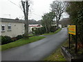
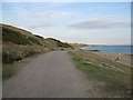
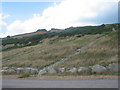
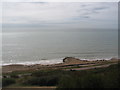
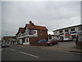
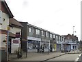
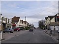
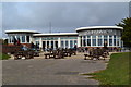
100 photos from this area
Area Information
Key information about the BH23 5BQ including its size, population, and administrative classification.
- Area Type
- Postcode
- Area Size
- 8.7 hectares
- Population
- 1950
- Population Density
- 1298 people/km²
House Prices in BH23 5BQ
44
Properties
£521,458
Average Sold Price
£370,000
Lowest Price
£855,000
Highest Price
Showing 44 properties
| Address | Type | Beds | Baths | Last Sale Price | Last Sale Date | |
|---|---|---|---|---|---|---|
| 20 Haslemere Avenue, Christchurch, BH23 5BQ | Detached | 4 | 2 | £855,000 | Aug 2025 | |
| 7 Haslemere Avenue, Christchurch, BH23 5BQ | Bungalow | 2 | 2 | £595,000 | Nov 2024 | |
| 5 Haslemere Avenue, Christchurch, BH23 5BQ | Bungalow | - | - | £680,000 | May 2022 | |
| 3 Haslemere Avenue, Christchurch, BH23 5BQ | Bungalow | 3 | 1 | £525,000 | Nov 2020 | |
| 16 Haslemere Avenue, Christchurch, BH23 5BQ | Chalet | 3 | 1 | £560,000 | Dec 2019 | |
| 4 Haslemere Avenue, Christchurch, BH23 5BQ | house | - | - | £495,000 | Mar 2019 | |
| 22 Haslemere Avenue, Christchurch, BH23 5BQ | Bungalow | - | - | £440,000 | Aug 2015 | |
| 2 Haslemere Avenue, Christchurch, BH23 5BQ | Bungalow | 2 | 2 | £385,000 | Jul 2015 | |
| 6 Haslemere Avenue, Christchurch, BH23 5BQ | Bungalow | 3 | 1 | £415,000 | Mar 2015 | |
| 18 Haslemere Avenue, Christchurch, BH23 5BQ | Bungalow | 5 | - | £485,000 | May 2010 |
Page 1 of 5
Energy Efficiency in BH23 5BQ
Amenities
Schools
| Rank | School | Type | Entry gender | Ages |
|---|
Explore more schools in this area
Go to Schools tabDemographics
Household Size
Two person
most common
Accommodation Type
Houses
most common
Tenure
88
majority
Ethnic Group
White
most common
Religion
N/A
most common
Household Composition
N/A
most common
Age
70
median
Elderly (65+ years)
most common
Household Deprivation
N/A
with no deprivation
NS-SEC
43
in Lower managerial occupations
Explore more demographic insights in this area
Go to Demographics tabPlanning
Planning Constraints
- Flood RiskPremium
- Ramsar Wetland SitesPremium
- Area of Outstanding Natural BeautyPremium
- Protected Nature ReservePremium
- Protected WoodlandPremium