Area Overview for BH23 4JX
Photos of BH23 4JX
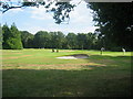
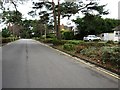
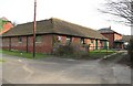
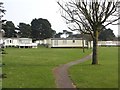
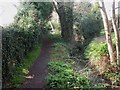
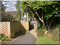
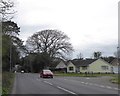
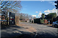
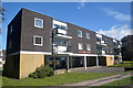
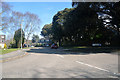
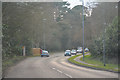
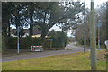
47 photos from this area
Area Information
Key information about the BH23 4JX including its size, population, and administrative classification.
- Area Type
- Postcode
- Area Size
- 1.9 hectares
- Population
- 1950
- Population Density
- 1298 people/km²
House Prices in BH23 4JX
10
Properties
£290,056
Average Sold Price
£88,500
Lowest Price
£495,000
Highest Price
Showing 10 properties
| Address | Type | Beds | Baths | Last Sale Price | Last Sale Date | |
|---|---|---|---|---|---|---|
| 92A Lymington Road, Christchurch, BH23 4JX | Bungalow | 3 | - | £495,000 | Nov 2019 | |
| 104 Lymington Road, Christchurch, BH23 4JX | Detached | 4 | 2 | £440,000 | Mar 2016 | |
| 100 Lymington Road, Christchurch, BH23 4JX | house | 4 | - | £425,000 | Dec 2011 | |
| 90 Lymington Road, Christchurch, BH23 4JX | Bungalow | 3 | 1 | £272,000 | Apr 2010 | |
| 98 Lymington Road, Christchurch, BH23 4JX | Detached | - | - | £285,000 | Sep 2007 | |
| 96 Lymington Road, Christchurch, BH23 4JX | Detached | - | - | £312,000 | Mar 2007 | |
| 106 Lymington Road, Christchurch, BH23 4JX | Detached | - | - | £165,000 | Feb 2002 | |
| 92 Lymington Road, Christchurch, BH23 4JX | Bungalow | 3 | 2 | £128,000 | May 1997 | |
| 102 Lymington Road, Christchurch, BH23 4JX | Detached | - | - | £88,500 | Mar 1996 | |
| 94 Lymington Road, Christchurch, BH23 4JX | Detached | - | - | - | - |
Energy Efficiency in BH23 4JX
Amenities
Schools
| Rank | School | Type | Entry gender | Ages |
|---|
Explore more schools in this area
Go to Schools tabDemographics
Household Size
Two person
most common
Accommodation Type
Houses
most common
Tenure
88
majority
Ethnic Group
White
most common
Religion
N/A
most common
Household Composition
N/A
most common
Age
70
median
Elderly (65+ years)
most common
Household Deprivation
N/A
with no deprivation
NS-SEC
43
in Lower managerial occupations
Explore more demographic insights in this area
Go to Demographics tabPlanning
Planning Constraints
- Flood RiskPremium
- Ramsar Wetland SitesPremium
- Area of Outstanding Natural BeautyPremium
- Protected Nature ReservePremium
- Protected WoodlandPremium