Area Overview for BH23 2NL
Photos of BH23 2NL
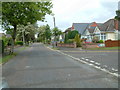
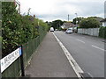
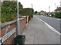
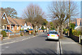
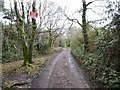
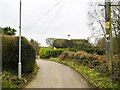
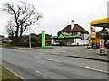
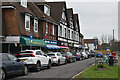
35 photos from this area
Area Information
Key information about the BH23 2NL including its size, population, and administrative classification.
- Area Type
- Postcode
- Area Size
- 12.7 hectares
- Population
- 1876
- Population Density
- 74 people/km²
House Prices in BH23 2NL
11
Properties
£357,500
Average Sold Price
£125,000
Lowest Price
£590,000
Highest Price
Showing 11 properties
| Address | Type | Beds | Baths | Last Sale Price | Last Sale Date | |
|---|---|---|---|---|---|---|
| The Rest, St Catherines Hill Lane, Christchurch, BH23 2NL | Bungalow | 2 | 3 | £350,000 | Aug 2023 | |
| Mayflower Cottage, St Catherines Hill Lane, Christchurch, BH23 2NL | Cottage | 2 | 1 | £560,000 | Oct 2017 | |
| Little Oaks Cottage, St Catherines Hill Lane, Christchurch, BH23 2NL | Detached | 5 | 4 | £590,000 | May 2016 | |
| Sunnybank, St Catherines Hill Lane, Christchurch, BH23 2NL | Detached | - | - | £162,500 | Jun 2001 | |
| Amberwood Cottage, St Catherines Hill Lane, Christchurch, BH23 2NL | Bungalow | 5 | 3 | £125,000 | Aug 1998 | |
| Fernhill House, St Catherines Hill Lane, Christchurch, BH23 2NL | Detached | 5 | - | - | - | |
| Hill Mount, St Catherines Hill Lane, Christchurch, BH23 2NL | Detached | - | - | - | - | |
| Willow Marsh, St Catherines Hill Lane, Christchurch, BH23 2NL | house | - | - | - | - | |
| Highfield Cottage, St Catherines Hill Lane, Christchurch, BH23 2NL | Detached | - | - | - | - | |
| Hill House, St Catherines Hill Lane, Christchurch, BH23 2NL | house | - | - | - | - |
Page 1 of 2
Energy Efficiency in BH23 2NL
Amenities
Schools
| Rank | School | Type | Entry gender | Ages |
|---|
Explore more schools in this area
Go to Schools tabDemographics
Household Size
Two person
most common
Accommodation Type
Houses
most common
Tenure
80
majority
Ethnic Group
White
most common
Religion
N/A
most common
Household Composition
N/A
most common
Age
47
median
Adults (30-64 years)
most common
Household Deprivation
N/A
with no deprivation
NS-SEC
38
in Lower managerial occupations
Explore more demographic insights in this area
Go to Demographics tabPlanning
Planning Constraints
- Flood RiskPremium
- Ramsar Wetland SitesPremium
- Area of Outstanding Natural BeautyPremium
- Protected Nature ReservePremium
- Protected WoodlandPremium