Area Overview for BH23 1JL
Photos of BH23 1JL
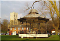
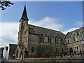
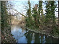
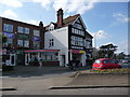
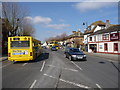
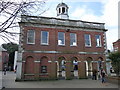
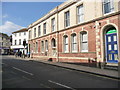
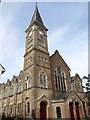
100 photos from this area
Area Information
Key information about the BH23 1JL including its size, population, and administrative classification.
- Area Type
- Postcode
- Area Size
- 3018 m²
- Population
- Not available
- Population Density
- Not available
House Prices in BH23 1JL
7
Properties
£284,707
Average Sold Price
£62,000
Lowest Price
£518,000
Highest Price
Showing 7 properties
| Address | Type | Beds | Baths | Last Sale Price | Last Sale Date | |
|---|---|---|---|---|---|---|
| 79 Stour Road, Christchurch, BH23 1JL | Land | - | - | £450,000 | Mar 2025 | |
| 87 Stour Road, Christchurch, BH23 1JL | house | - | - | £518,000 | Nov 2019 | |
| 83A Stour Road, Christchurch, BH23 1JL | house | - | - | £274,950 | Dec 2012 | |
| 83 Stour Road, Christchurch, BH23 1JL | Detached | 4 | - | £304,000 | Aug 2011 | |
| 85 Stour Road, Christchurch, BH23 1JL | house | 2 | - | £215,000 | Aug 2009 | |
| 89 Stour Road, Christchurch, BH23 1JL | house | - | - | £169,000 | Feb 2003 | |
| 81 Stour Road, Christchurch, BH23 1JL | house | - | - | £62,000 | Mar 1996 |
Energy Efficiency in BH23 1JL
Amenities
Schools
| Rank | School | Type | Entry gender | Ages |
|---|
Explore more schools in this area
Go to Schools tabDemographics
Household Size
One person
most common
Accommodation Type
Houses
most common
Tenure
74
majority
Ethnic Group
White
most common
Religion
N/A
most common
Household Composition
N/A
most common
Age
47
median
Adults (30-64 years)
most common
Household Deprivation
N/A
with no deprivation
NS-SEC
43
in Lower managerial occupations
Explore more demographic insights in this area
Go to Demographics tabPlanning
Planning Constraints
- Flood RiskPremium
- Ramsar Wetland SitesPremium
- Area of Outstanding Natural BeautyPremium
- Protected Nature ReservePremium
- Protected WoodlandPremium