Area Overview for BH22 9PE
Photos of BH22 9PE
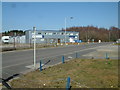
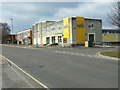
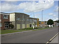
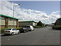
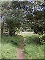
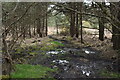
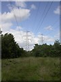
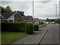
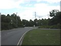
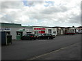

17 photos from this area
Area Information
Key information about the BH22 9PE including its size, population, and administrative classification.
- Area Type
- Postcode
- Area Size
- 1.7 hectares
- Population
- Not available
- Population Density
- Not available
House Prices in BH22 9PE
23
Properties
£364,030
Average Sold Price
£98,000
Lowest Price
£670,000
Highest Price
Showing 23 properties
| Address | Type | Beds | Baths | Last Sale Price | Last Sale Date | |
|---|---|---|---|---|---|---|
| 8 Bracken Road, Ferndown, BH22 9PE | Bungalow | 3 | 2 | £475,000 | Aug 2025 | |
| 24 Bracken Road, Ferndown, BH22 9PE | Bungalow | 3 | 1 | £530,000 | Feb 2025 | |
| 46 Bracken Road, Ferndown, BH22 9PE | Bungalow | 2 | 1 | £670,000 | Nov 2020 | |
| 18 Bracken Road, Ferndown, BH22 9PE | Detached | 4 | - | £459,950 | Jul 2018 | |
| 18A Bracken Road, Ferndown, BH22 9PE | Bungalow | 3 | 2 | £465,000 | Jun 2018 | |
| 6 Bracken Road, Ferndown, BH22 9PE | Chalet | 4 | - | £585,000 | Jun 2017 | |
| 44 Bracken Road, Ferndown, BH22 9PE | Bungalow | 3 | 1 | £300,000 | May 2017 | |
| 14 Bracken Road, Ferndown, BH22 9PE | Bungalow | - | - | £235,000 | Nov 2013 | |
| 22 Bracken Road, Ferndown, BH22 9PE | Bungalow | 5 | - | £370,000 | Aug 2013 | |
| 12 Bracken Road, Ferndown, BH22 9PE | Bungalow | 4 | 1 | £290,000 | May 2013 |
Page 1 of 3
Energy Efficiency in BH22 9PE
Amenities
Schools
| Rank | School | Type | Entry gender | Ages |
|---|
Explore more schools in this area
Go to Schools tabDemographics
Household Size
Two person
most common
Accommodation Type
Houses
most common
Tenure
81
majority
Ethnic Group
White
most common
Religion
N/A
most common
Household Composition
N/A
most common
Age
47
median
Adults (30-64 years)
most common
Household Deprivation
N/A
with no deprivation
NS-SEC
32
in Lower managerial occupations
Explore more demographic insights in this area
Go to Demographics tabPlanning
Planning Constraints
- Flood RiskPremium
- Ramsar Wetland SitesPremium
- Area of Outstanding Natural BeautyPremium
- Protected Nature ReservePremium
- Protected WoodlandPremium