Area Overview for BH22 8SF
Photos of BH22 8SF
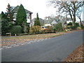
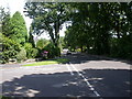
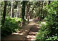
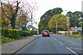
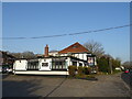
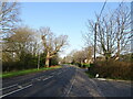
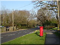
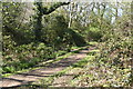
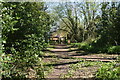
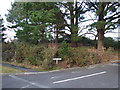
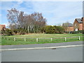
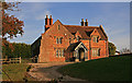
24 photos from this area
Area Information
Key information about the BH22 8SF including its size, population, and administrative classification.
- Area Type
- Postcode
- Area Size
- 4.5 hectares
- Population
- 1560
- Population Density
- 3087 people/km²
House Prices in BH22 8SF
43
Properties
£265,655
Average Sold Price
£67,000
Lowest Price
£515,000
Highest Price
Showing 43 properties
| Address | Type | Beds | Baths | Last Sale Price | Last Sale Date | |
|---|---|---|---|---|---|---|
| 83 Fitzpain Road, West Parley, BH22 8SF | Detached | 3 | 1 | £385,000 | Jul 2024 | |
| 99 Fitzpain Road, West Parley, BH22 8SF | Detached | 4 | 2 | £515,000 | Nov 2023 | |
| 64 Fitzpain Road, West Parley, BH22 8SF | house | - | - | £365,000 | Sep 2021 | |
| 88 Fitzpain Road, West Parley, BH22 8SF | house | - | - | £475,000 | Dec 2020 | |
| 91 Fitzpain Road, West Parley, BH22 8SF | Detached | 3 | - | £352,500 | Dec 2020 | |
| 81 Fitzpain Road, West Parley, BH22 8SF | Detached | 4 | 1 | £370,000 | Jan 2020 | |
| 86 Fitzpain Road, West Parley, BH22 8SF | Detached | 4 | - | £380,000 | Feb 2019 | |
| 78 Fitzpain Road, West Parley, BH22 8SF | house | - | - | £359,000 | Feb 2017 | |
| 92 Fitzpain Road, West Parley, BH22 8SF | house | - | - | £370,000 | Dec 2016 | |
| 93 Fitzpain Road, West Parley, BH22 8SF | Detached | - | - | £320,000 | Aug 2015 |
Page 1 of 5
Energy Efficiency in BH22 8SF
Amenities
Schools
| Rank | School | Type | Entry gender | Ages |
|---|
Explore more schools in this area
Go to Schools tabDemographics
Household Size
Two person
most common
Accommodation Type
Houses
most common
Tenure
93
majority
Ethnic Group
White
most common
Religion
N/A
most common
Household Composition
N/A
most common
Age
47
median
Adults (30-64 years)
most common
Household Deprivation
N/A
with no deprivation
NS-SEC
42
in Lower managerial occupations
Explore more demographic insights in this area
Go to Demographics tabPlanning
Planning Constraints
- Flood RiskPremium
- Ramsar Wetland SitesPremium
- Area of Outstanding Natural BeautyPremium
- Protected Nature ReservePremium
- Protected WoodlandPremium