Area Overview for BH22 8LE
Photos of BH22 8LE
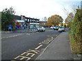
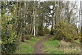
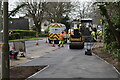
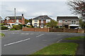
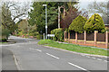
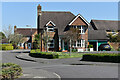
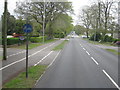
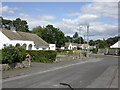
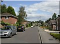
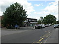
21 photos from this area
Area Information
Key information about the BH22 8LE including its size, population, and administrative classification.
- Area Type
- Postcode
- Area Size
- 1.7 hectares
- Population
- 1434
- Population Density
- 2683 people/km²
House Prices in BH22 8LE
38
Properties
£367,914
Average Sold Price
£159,950
Lowest Price
£675,000
Highest Price
Showing 38 properties
| Address | Type | Beds | Baths | Last Sale Price | Last Sale Date | |
|---|---|---|---|---|---|---|
| 29 St Cleeve Way, Ferndown, BH22 8LE | Detached | 3 | 2 | £460,000 | Mar 2025 | |
| 18 St Cleeve Way, Ferndown, BH22 8LE | house | - | - | £400,000 | Dec 2022 | |
| 17 St Cleeve Way, Ferndown, BH22 8LE | Detached | 4 | 3 | £612,000 | Jul 2022 | |
| 36 St Cleeve Way, Ferndown, BH22 8LE | house | 4 | - | £675,000 | Aug 2021 | |
| 4 St Cleeve Way, Ferndown, BH22 8LE | house | 4 | - | £572,500 | Apr 2021 | |
| 19 St Cleeve Way, Ferndown, BH22 8LE | Semi-detached | 3 | - | £315,000 | Sep 2020 | |
| 3 St Cleeve Way, Ferndown, BH22 8LE | house | - | - | £390,000 | Aug 2020 | |
| 27 St Cleeve Way, Ferndown, BH22 8LE | Detached | 4 | 2 | £410,000 | Oct 2018 | |
| 9 St Cleeve Way, Ferndown, BH22 8LE | house | - | - | £450,000 | Apr 2018 | |
| 15 St Cleeve Way, Ferndown, BH22 8LE | Detached | 4 | 2 | £450,000 | Feb 2018 |
Page 1 of 4
Energy Efficiency in BH22 8LE
Amenities
Schools
| Rank | School | Type | Entry gender | Ages |
|---|
Explore more schools in this area
Go to Schools tabDemographics
Household Size
Two person
most common
Accommodation Type
Houses
most common
Tenure
84
majority
Ethnic Group
White
most common
Religion
N/A
most common
Household Composition
N/A
most common
Age
47
median
Adults (30-64 years)
most common
Household Deprivation
N/A
with no deprivation
NS-SEC
41
in Lower managerial occupations
Explore more demographic insights in this area
Go to Demographics tabPlanning
Planning Constraints
- Flood RiskPremium
- Ramsar Wetland SitesPremium
- Area of Outstanding Natural BeautyPremium
- Protected Nature ReservePremium
- Protected WoodlandPremium