Area Overview for BH22 0PE
Photos of BH22 0PE
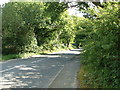
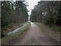
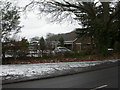
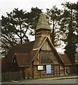

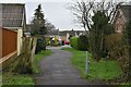
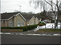
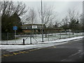
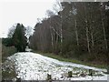
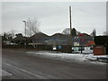
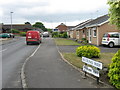
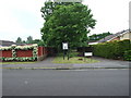
18 photos from this area
Area Information
Key information about the BH22 0PE including its size, population, and administrative classification.
- Area Type
- Postcode
- Area Size
- 6253 m²
- Population
- 1631
- Population Density
- 1751 people/km²
House Prices in BH22 0PE
13
Properties
£278,290
Average Sold Price
£103,000
Lowest Price
£487,000
Highest Price
Showing 13 properties
| Address | Type | Beds | Baths | Last Sale Price | Last Sale Date | |
|---|---|---|---|---|---|---|
| 70 Woolslope Road, West Moors, BH22 0PE | house | - | - | £487,000 | Aug 2022 | |
| 48 Woolslope Road, West Moors, BH22 0PE | house | 4 | - | £455,000 | Dec 2020 | |
| 66 Woolslope Road, West Moors, BH22 0PE | Detached | 4 | - | £299,950 | Jun 2015 | |
| 52 Woolslope Road, West Moors, BH22 0PE | house | 4 | - | £290,000 | Nov 2013 | |
| 62 Woolslope Road, West Moors, BH22 0PE | house | - | - | £289,950 | May 2008 | |
| 64 Woolslope Road, West Moors, BH22 0PE | Detached | 4 | 2 | £250,000 | Dec 2005 | |
| 50 Woolslope Road, West Moors, BH22 0PE | Detached | 4 | - | £250,000 | Oct 2003 | |
| 60 Woolslope Road, West Moors, BH22 0PE | Detached | - | - | £242,000 | Feb 2003 | |
| 72 Woolslope Road, West Moors, BH22 0PE | Detached | - | - | £103,000 | Aug 1998 | |
| 56 Woolslope Road, West Moors, BH22 0PE | Detached | - | - | £116,000 | Mar 1998 |
Page 1 of 2
Energy Efficiency in BH22 0PE
Amenities
Schools
| Rank | School | Type | Entry gender | Ages |
|---|
Explore more schools in this area
Go to Schools tabDemographics
Household Size
Two person
most common
Accommodation Type
Houses
most common
Tenure
87
majority
Ethnic Group
White
most common
Religion
N/A
most common
Household Composition
N/A
most common
Age
47
median
Elderly (65+ years)
most common
Household Deprivation
N/A
with no deprivation
NS-SEC
32
in Lower managerial occupations
Explore more demographic insights in this area
Go to Demographics tabPlanning
Planning Constraints
- Flood RiskPremium
- Ramsar Wetland SitesPremium
- Area of Outstanding Natural BeautyPremium
- Protected Nature ReservePremium
- Protected WoodlandPremium