Area Overview for BH22 0LU
Photos of BH22 0LU
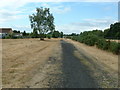
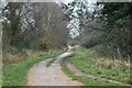
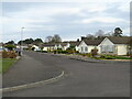
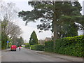
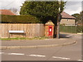
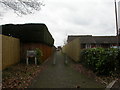
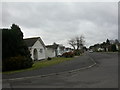
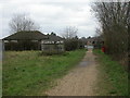
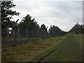
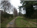
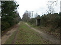
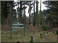
18 photos from this area
Area Information
Key information about the BH22 0LU including its size, population, and administrative classification.
- Area Type
- Postcode
- Area Size
- 1.8 hectares
- Population
- 1315
- Population Density
- 332 people/km²
House Prices in BH22 0LU
18
Properties
£404,909
Average Sold Price
£153,000
Lowest Price
£635,000
Highest Price
Showing 18 properties
| Address | Type | Beds | Baths | Last Sale Price | Last Sale Date | |
|---|---|---|---|---|---|---|
| 34 The Avenue, West Moors, BH22 0LU | Bungalow | - | - | £550,000 | Dec 2022 | |
| 44 The Avenue, West Moors, BH22 0LU | Detached | 4 | 2 | £635,000 | Nov 2021 | |
| 31 The Avenue, West Moors, BH22 0LU | Detached | 3 | 2 | £385,000 | Aug 2020 | |
| 32 The Avenue, West Moors, BH22 0LU | Detached | 3 | 3 | £475,000 | Jul 2020 | |
| 29 The Avenue, West Moors, BH22 0LU | house | - | - | £380,000 | Nov 2016 | |
| 27 The Avenue, West Moors, BH22 0LU | Semi-detached | 3 | 1 | £335,000 | Jun 2016 | |
| 38 The Avenue, West Moors, BH22 0LU | Detached | 5 | - | £535,000 | Dec 2013 | |
| 25 The Avenue, West Moors, BH22 0LU | Detached | - | - | £340,000 | Nov 2013 | |
| 40 The Avenue, West Moors, BH22 0LU | Bungalow | 5 | 3 | £450,000 | Sep 2004 | |
| 46 The Avenue, West Moors, BH22 0LU | Detached | - | - | £216,000 | Apr 2000 |
Page 1 of 2
Energy Efficiency in BH22 0LU
Amenities
Schools
| Rank | School | Type | Entry gender | Ages |
|---|
Explore more schools in this area
Go to Schools tabDemographics
Household Size
Two person
most common
Accommodation Type
Houses
most common
Tenure
80
majority
Ethnic Group
White
most common
Religion
N/A
most common
Household Composition
N/A
most common
Age
47
median
Adults (30-64 years)
most common
Household Deprivation
N/A
with no deprivation
NS-SEC
38
in Lower managerial occupations
Explore more demographic insights in this area
Go to Demographics tabPlanning
Planning Constraints
- Flood RiskPremium
- Ramsar Wetland SitesPremium
- Area of Outstanding Natural BeautyPremium
- Protected Nature ReservePremium
- Protected WoodlandPremium