Area Overview for BH22 0DP
Photos of BH22 0DP
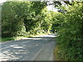
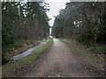
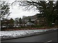
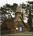

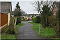
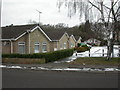
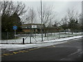
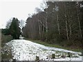
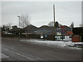
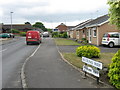
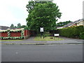
18 photos from this area
Area Information
Key information about the BH22 0DP including its size, population, and administrative classification.
- Area Type
- Postcode
- Area Size
- 1.1 hectares
- Population
- 1453
- Population Density
- 3110 people/km²
House Prices in BH22 0DP
11
Properties
£337,583
Average Sold Price
£108,000
Lowest Price
£650,000
Highest Price
Showing 11 properties
| Address | Type | Beds | Baths | Last Sale Price | Last Sale Date | |
|---|---|---|---|---|---|---|
| 61 Oakhurst Road, West Moors, BH22 0DP | Bungalow | 3 | 2 | £650,000 | Aug 2023 | |
| 55 Oakhurst Road, West Moors, BH22 0DP | Bungalow | 3 | 1 | £400,000 | Oct 2019 | |
| 45 Oakhurst Road, West Moors, BH22 0DP | Bungalow | 3 | - | £342,500 | Aug 2013 | |
| 59 Oakhurst Road, West Moors, BH22 0DP | Detached | - | - | £350,000 | Feb 2005 | |
| 51 Oakhurst Road, West Moors, BH22 0DP | Chalet | 4 | 2 | £175,000 | Sep 2002 | |
| 57 Oakhurst Road, West Moors, BH22 0DP | Detached | - | - | £108,000 | Jun 1995 | |
| 49 Oakhurst Road, West Moors, BH22 0DP | Bungalow | 4 | 2 | - | - | |
| 47 Oakhurst Road, West Moors, BH22 0DP | Detached | - | - | - | - | |
| 43 Oakhurst Road, West Moors, BH22 0DP | Detached | - | - | - | - | |
| 53 Oakhurst Road, West Moors, BH22 0DP | Detached | - | - | - | - |
Page 1 of 2
Energy Efficiency in BH22 0DP
Amenities
Schools
| Rank | School | Type | Entry gender | Ages |
|---|
Explore more schools in this area
Go to Schools tabDemographics
Household Size
Two person
most common
Accommodation Type
Houses
most common
Tenure
90
majority
Ethnic Group
White
most common
Religion
N/A
most common
Household Composition
N/A
most common
Age
47
median
Elderly (65+ years)
most common
Household Deprivation
N/A
with no deprivation
NS-SEC
40
in Lower managerial occupations
Explore more demographic insights in this area
Go to Demographics tabPlanning
Planning Constraints
- Flood RiskPremium
- Ramsar Wetland SitesPremium
- Area of Outstanding Natural BeautyPremium
- Protected Nature ReservePremium
- Protected WoodlandPremium