Area Overview for BH21 7LS
Photos of BH21 7LS
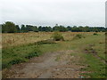
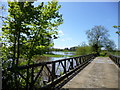
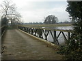
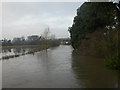
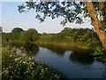
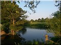
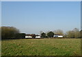
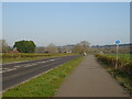
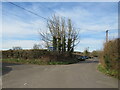
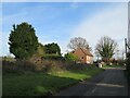
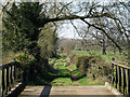
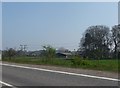
17 photos from this area
Area Information
Key information about the BH21 7LS including its size, population, and administrative classification.
- Area Type
- Postcode
- Area Size
- 33.6 hectares
- Population
- 1631
- Population Density
- 306 people/km²
House Prices in BH21 7LS
9
Properties
£275,000
Average Sold Price
£275,000
Lowest Price
£275,000
Highest Price
Showing 9 properties
| Address | Type | Beds | Baths | Last Sale Price | Last Sale Date | |
|---|---|---|---|---|---|---|
| 4, Stourbank Nurseries, Ham Lane, Hampreston, BH21 7LS | Semi-detached | - | - | £275,000 | Jan 2004 | |
| 2, Stourbank Nurseries, Ham Lane, Hampreston, BH21 7LS | house | 4 | - | - | - | |
| STOURBANK NURSERY, HAM LANE, Hampreston, Wimborne, BH21 7LS | Flat | - | - | - | - | |
| Seymours Cliff, Stourbank Nursery, Ham Lane, Hampreston, BH21 7LS | Bungalow | - | - | - | - | |
| Flat, Stourbank Nursery, Ham Lane, Hampreston, BH21 7LS | Flat | - | - | - | - | |
| Hedge End, Stourbank Nurseries, Ham Lane, Hampreston, BH21 7LS | house | - | - | - | - | |
| 3, Stourbank Nurseries, Ham Lane, Hampreston, BH21 7LS | Semi-detached | - | - | - | - | |
| 1, Stourbank Nurseries, Ham Lane, Hampreston, BH21 7LS | house | - | - | - | - | |
| Les Blanches Vineries Ltd, Stourbank Nursery, Ham Lane, Hampreston, BH21 7LS | Farm | - | - | - | - |
Energy Efficiency in BH21 7LS
Amenities
Schools
| Rank | School | Type | Entry gender | Ages |
|---|
Explore more schools in this area
Go to Schools tabDemographics
Household Size
Family (3-5 people)
most common
Accommodation Type
Houses
most common
Tenure
84
majority
Ethnic Group
White
most common
Religion
N/A
most common
Household Composition
N/A
most common
Age
47
median
Adults (30-64 years)
most common
Household Deprivation
N/A
with no deprivation
NS-SEC
43
in Lower managerial occupations
Explore more demographic insights in this area
Go to Demographics tabPlanning
Planning Constraints
- Flood RiskPremium
- Ramsar Wetland SitesPremium
- Area of Outstanding Natural BeautyPremium
- Protected Nature ReservePremium
- Protected WoodlandPremium