Area Overview for BH21 7AU
Photos of BH21 7AU
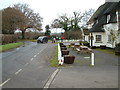
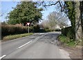
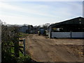
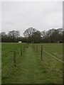
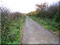
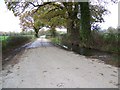
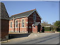
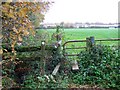
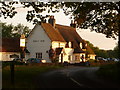
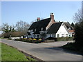
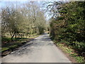
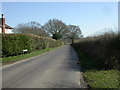
24 photos from this area
Area Information
Key information about the BH21 7AU including its size, population, and administrative classification.
- Area Type
- Postcode
- Area Size
- 13.1 hectares
- Population
- 1512
- Population Density
- 952 people/km²
House Prices in BH21 7AU
39
Properties
£362,177
Average Sold Price
£94,950
Lowest Price
£795,000
Highest Price
Showing 39 properties
| Address | Type | Beds | Baths | Last Sale Price | Last Sale Date | |
|---|---|---|---|---|---|---|
| 117 Lonnen Road, Colehill, BH21 7AU | Detached | 3 | 1 | £420,000 | Nov 2025 | |
| 95 Lonnen Road, Colehill, BH21 7AU | Detached | 4 | 3 | £795,000 | Nov 2025 | |
| 149 Lonnen Road, Colehill, BH21 7AU | Detached | 3 | 2 | £585,000 | Aug 2025 | |
| 69 Lonnen Road, Colehill, BH21 7AU | Bungalow | - | - | £590,000 | Oct 2022 | |
| 73 Lonnen Road, Colehill, BH21 7AU | house | 4 | - | £670,000 | Nov 2020 | |
| 101 Lonnen Road, Colehill, BH21 7AU | Bungalow | 2 | - | £425,000 | Aug 2020 | |
| 115 Lonnen Road, Colehill, BH21 7AU | house | - | - | £420,000 | Aug 2020 | |
| 109 Lonnen Road, Colehill, BH21 7AU | Bungalow | - | - | £530,000 | Jul 2019 | |
| 97 Lonnen Road, Colehill, BH21 7AU | Detached | 4 | - | £585,000 | May 2015 | |
| 71 Lonnen Road, Colehill, BH21 7AU | Bungalow | 3 | 2 | £485,000 | Apr 2013 |
Page 1 of 4
Energy Efficiency in BH21 7AU
Amenities
Schools
| Rank | School | Type | Entry gender | Ages |
|---|
Explore more schools in this area
Go to Schools tabDemographics
Household Size
Two person
most common
Accommodation Type
Houses
most common
Tenure
71
majority
Ethnic Group
White
most common
Religion
N/A
most common
Household Composition
N/A
most common
Age
47
median
Adults (30-64 years)
most common
Household Deprivation
N/A
with no deprivation
NS-SEC
37
in Lower managerial occupations
Explore more demographic insights in this area
Go to Demographics tabPlanning
Planning Constraints
- Flood RiskPremium
- Ramsar Wetland SitesPremium
- Area of Outstanding Natural BeautyPremium
- Protected Nature ReservePremium
- Protected WoodlandPremium