Area Overview for BH21 5PU
Photos of BH21 5PU
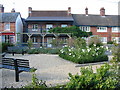
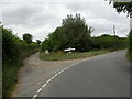
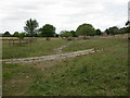
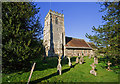
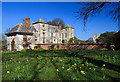
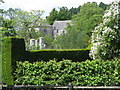
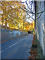
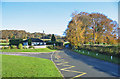
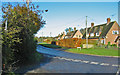
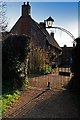
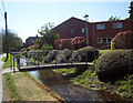
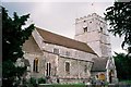
100 photos from this area
Area Information
Key information about the BH21 5PU including its size, population, and administrative classification.
- Area Type
- Postcode
- Area Size
- 7.2 hectares
- Population
- 2160
- Population Density
- 32 people/km²
House Prices in BH21 5PU
26
Properties
£488,917
Average Sold Price
£78,500
Lowest Price
£875,000
Highest Price
Showing 26 properties
| Address | Type | Beds | Baths | Last Sale Price | Last Sale Date | |
|---|---|---|---|---|---|---|
| 7 Salisbury Street, Cranborne, BH21 5PU | Semi-detached | 5 | 2 | £590,000 | May 2024 | |
| 9 Salisbury Street, Cranborne, BH21 5PU | Terraced | 2 | - | £390,000 | Nov 2022 | |
| 4 Salisbury Street, Cranborne, BH21 5PU | house | - | - | £515,000 | Feb 2021 | |
| 2 Salisbury Street, Cranborne, BH21 5PU | house | - | - | £336,000 | Jan 2021 | |
| 11 Salisbury Street, Cranborne, BH21 5PU | house | - | - | £355,000 | Jun 2018 | |
| 27-29 Salisbury Street, Cranborne, BH21 5PU | Detached | 5 | - | £867,500 | Aug 2017 | |
| 5 Salisbury Street, Cranborne, BH21 5PU | house | - | - | £475,000 | Jul 2009 | |
| 25 Salisbury Street, Cranborne, BH21 5PU | Detached | - | - | £650,000 | Feb 2008 | |
| 20 Salisbury Street, Cranborne, BH21 5PU | hospital_care_home | - | - | £360,000 | Mar 2005 | |
| 31 Salisbury Street, Cranborne, BH21 5PU | Detached | - | - | £875,000 | Feb 2000 |
Page 1 of 3
Energy Efficiency in BH21 5PU
Amenities
Schools
| Rank | School | Type | Entry gender | Ages |
|---|
Explore more schools in this area
Go to Schools tabDemographics
Household Size
Two person
most common
Accommodation Type
Houses
most common
Tenure
56
majority
Ethnic Group
White
most common
Religion
N/A
most common
Household Composition
N/A
most common
Age
47
median
Adults (30-64 years)
most common
Household Deprivation
N/A
with no deprivation
NS-SEC
34
in Lower managerial occupations
Explore more demographic insights in this area
Go to Demographics tabPlanning
Planning Constraints
- Flood RiskPremium
- Ramsar Wetland SitesPremium
- Area of Outstanding Natural BeautyPremium
- Protected Nature ReservePremium
- Protected WoodlandPremium