Area Overview for BH21 5LZ
Photos of BH21 5LZ
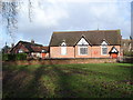
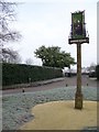
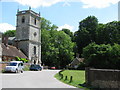
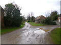
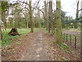
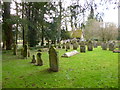
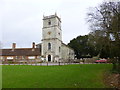
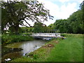
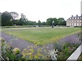
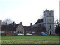
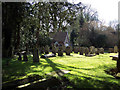
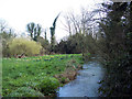
58 photos from this area
Area Information
Key information about the BH21 5LZ including its size, population, and administrative classification.
- Area Type
- Postcode
- Area Size
- 12.5 hectares
- Population
- 2160
- Population Density
- 32 people/km²
House Prices in BH21 5LZ
11
Properties
£1,591,667
Average Sold Price
£650,000
Lowest Price
£2,500,000
Highest Price
Showing 11 properties
| Address | Type | Beds | Baths | Last Sale Price | Last Sale Date | |
|---|---|---|---|---|---|---|
| The Mill House, Coach Road To Wimborne St Giles Lane, Wimborne St Giles, BH21 5LZ | Detached | - | - | £2,500,000 | Jun 2021 | |
| Brook House, Coach Road To Wimborne St Giles Lane, Wimborne St Giles, BH21 5LZ | Detached | 8 | 5 | £650,000 | Jan 2007 | |
| The Rectory, Creech Hill To B 3081 Junction, Wimborne St Giles, BH21 5LZ | house | - | - | £1,625,000 | Nov 2006 | |
| East Pepperpot Lodge, Creech Hill To B 3081 Junction, Wimborne St Giles, BH21 5LZ | Detached | - | - | - | - | |
| 1, Alms Walk, Creech Hill To B 3081 Junction, Wimborne St Giles, BH21 5LZ | Bungalow | - | - | - | - | |
| Church Lodge, Creech Hill To B 3081 Junction, Wimborne St Giles, BH21 5LZ | Detached | - | - | - | - | |
| 4, Alms Walk, Creech Hill To B 3081 Junction, Wimborne St Giles, BH21 5LZ | Bungalow | - | - | - | - | |
| 5, Alms Walk, Creech Hill To B 3081 Junction, Wimborne St Giles, BH21 5LZ | Bungalow | - | - | - | - | |
| 2, Alms Walk, Creech Hill To B 3081 Junction, Wimborne St Giles, BH21 5LZ | Bungalow | - | - | - | - | |
| St Giles Pcc Church Lodge, Creech Hill To B 3081 Junction, Wimborne St Giles, BH21 5LZ | Office | - | - | - | - |
Page 1 of 2
Energy Efficiency in BH21 5LZ
Amenities
Schools
| Rank | School | Type | Entry gender | Ages |
|---|
Explore more schools in this area
Go to Schools tabDemographics
Household Size
Two person
most common
Accommodation Type
Houses
most common
Tenure
56
majority
Ethnic Group
White
most common
Religion
N/A
most common
Household Composition
N/A
most common
Age
47
median
Adults (30-64 years)
most common
Household Deprivation
N/A
with no deprivation
NS-SEC
34
in Lower managerial occupations
Explore more demographic insights in this area
Go to Demographics tabPlanning
Planning Constraints
- Flood RiskPremium
- Ramsar Wetland SitesPremium
- Area of Outstanding Natural BeautyPremium
- Protected Nature ReservePremium
- Protected WoodlandPremium