Area Overview for BH21 3DT
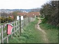
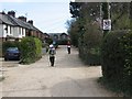
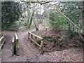
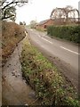
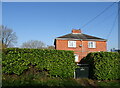
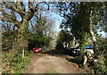
Photos of BH21 3DT


Area Information
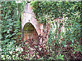
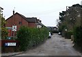
Living in BH21 3DT, a small postcode area in Corfe Mullen, Dorset, means being part of a compact residential cluster on the edge of Poole’s urban sprawl. With a population of 1,331 and a density of 873 people per square kilometre, this area blends historical roots with modern commuter convenience. Situated near the River Stour and within the Dorset Heaths, it lies on the green belt boundary, offering a rural feel despite its proximity to urban centres like Wimborne, Poole, and Bournemouth. The village serves as a dormitory for workers in nearby towns, with a history tied to Roman roads and medieval settlements. Daily life here is shaped by its role as a commuter hub, with local amenities like shops, schools, and community spaces complementing its quiet, heathland surroundings. The area’s compact size and strategic location make it ideal for those seeking a balance between rural tranquillity and access to larger cities.
- Area Type
- Postcode
- Area Size
- Not available
- Population
- 1331
- Population Density
- 873 people/km²
The property market in BH21 3DT is characterised by high home ownership (89%) and a predominance of houses. This suggests a market skewed towards owner-occupied properties rather than rentals, with limited scope for investment in buy-to-let ventures. The compact nature of the postcode area means housing stock is likely limited to a small number of homes, many of which may be older or historically significant given the area’s heritage. For buyers, this implies a niche market where properties are likely to be in demand by those seeking a stable, low-maintenance home. The focus on houses rather than flats also aligns with the area’s rural character, offering more space and privacy than urban alternatives. However, the small size of the area may restrict options, requiring buyers to consider nearby suburbs or towns for broader choices.
House Prices in BH21 3DT
No properties found in this postcode.
Energy Efficiency in BH21 3DT
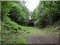
Life in BH21 3DT is shaped by its proximity to essential amenities, including five retail outlets such as Asda Wimborne, Asda Windgreen, and Co-op Corfe, ensuring daily shopping needs are met. The area’s rail network, with stations like Hamworthy and Poole, offers swift access to Bournemouth, Poole, and beyond, while ferry services at Poole Quay provide alternative travel routes. Locally, the village hosts six churches, four pubs, five schools, and a library, fostering a tight-knit community. The surrounding Dorset Heaths and green belt offer recreational space, with historical sites like the Roman road and prehistoric barrows adding cultural depth. This blend of practicality and heritage means residents enjoy both modern convenience and a connection to the past, making daily life in BH21 3DT both functional and enriched by its surroundings.
Amenities
Schools
| Rank | School | Type | Entry gender | Ages |
|---|
Explore more schools in this area
Go to Schools tabDemographics
The community in BH21 3DT is predominantly composed of adults aged 30–64, with a median age of 47. This suggests a mature, stable population, likely with strong family ties and long-term residency. Home ownership is high, at 89%, indicating a community of long-term residents rather than transient renters. The area is largely composed of houses, reflecting a preference for detached or semi-detached properties over flats. The predominant ethnic group is White, though specific data on diversity or deprivation is not provided. The age profile and ownership rates suggest a low turnover of residents, fostering a sense of continuity and neighbourly familiarity. For buyers, this demographic profile implies a neighbourhood with established infrastructure and a focus on family-oriented living, though the lack of detailed diversity data means broader social dynamics remain unexplored.
Household Size
Accommodation Type
Tenure
Ethnic Group
Religion
Household Composition
Age
Household Deprivation
NS-SEC
Explore more demographic insights in this area
Go to Demographics tabPlanning
Planning Constraints
- Flood RiskPremium
- Ramsar Wetland SitesPremium
- Area of Outstanding Natural BeautyPremium
- Protected Nature ReservePremium
- Protected WoodlandPremium