Area Overview for BH21 3AF
Photos of BH21 3AF
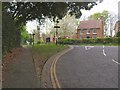
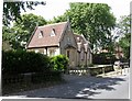
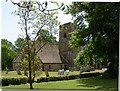
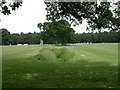
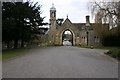
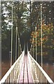
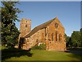
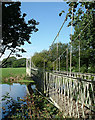
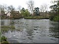
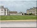
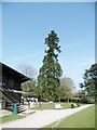
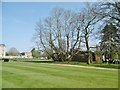
53 photos from this area
Area Information
Key information about the BH21 3AF including its size, population, and administrative classification.
- Area Type
- Postcode
- Area Size
- 65.2 hectares
- Population
- 1474
- Population Density
- 188 people/km²
House Prices in BH21 3AF
61
Properties
£391,400
Average Sold Price
£245,000
Lowest Price
£712,000
Highest Price
Showing 61 properties
| Address | Type | Beds | Baths | Last Sale Price | Last Sale Date | |
|---|---|---|---|---|---|---|
| Chenford House, Canford Magna, Poole, BH21 3AF | Detached | 5 | 2 | £712,000 | Oct 2024 | |
| 13 Canford Magna, Poole, BH21 3AF | house | 2 | - | £245,000 | Aug 2015 | |
| 15 Canford Magna, Poole, BH21 3AF | Terraced | - | - | £355,000 | Oct 2013 | |
| 14 Canford Magna, Poole, BH21 3AF | Terraced | 3 | 1 | £295,000 | Sep 2007 | |
| Kinsale, Canford Magna, Poole, BH21 3AF | house | - | - | £350,000 | Aug 2007 | |
| 11 Canford Magna, Poole, BH21 3AF | Terraced | 3 | 1 | - | - | |
| Southernwood, Canford School, Canford Magna, Poole, BH21 3AF | house | - | - | - | - | |
| 14, The Park Canford School, Canford Magna, Poole, BH21 3AF | Flat | - | - | - | - | |
| The Lorifer Dormitories, Canford School, Canford Magna, Poole, BH21 3AF | studentAccommodation | - | - | - | - | |
| Tennis Court Cottage, Canford School, Canford Magna, Poole, BH21 3AF | Flat | - | - | - | - |
Page 1 of 7
Energy Efficiency in BH21 3AF
Amenities
Schools
| Rank | School | Type | Entry gender | Ages |
|---|
Explore more schools in this area
Go to Schools tabDemographics
Household Size
Two person
most common
Accommodation Type
Houses
most common
Tenure
90
majority
Ethnic Group
White
most common
Religion
N/A
most common
Household Composition
N/A
most common
Age
47
median
Adults (30-64 years)
most common
Household Deprivation
N/A
with no deprivation
NS-SEC
42
in Lower managerial occupations
Explore more demographic insights in this area
Go to Demographics tabPlanning
Planning Constraints
- Flood RiskPremium
- Ramsar Wetland SitesPremium
- Area of Outstanding Natural BeautyPremium
- Protected Nature ReservePremium
- Protected WoodlandPremium