Area Overview for BH21 2SF
Photos of BH21 2SF
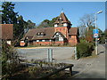
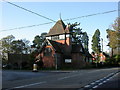
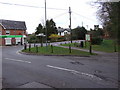
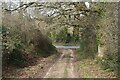
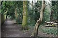
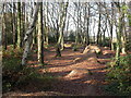
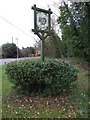
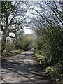
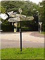
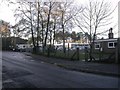
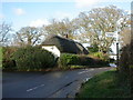
18 photos from this area
Area Information
Key information about the BH21 2SF including its size, population, and administrative classification.
- Area Type
- Postcode
- Area Size
- 1.0 hectares
- Population
- Not available
- Population Density
- Not available
House Prices in BH21 2SF
10
Properties
£333,472
Average Sold Price
£88,000
Lowest Price
£905,000
Highest Price
Showing 10 properties
| Address | Type | Beds | Baths | Last Sale Price | Last Sale Date | |
|---|---|---|---|---|---|---|
| 10 Weston Road, Colehill, BH21 2SF | Detached | 3 | 2 | £521,000 | Aug 2025 | |
| 3 Weston Road, Colehill, BH21 2SF | Detached | 5 | 3 | £905,000 | Jul 2022 | |
| 6 Weston Road, Colehill, BH21 2SF | Chalet | 4 | - | £465,000 | Jun 2020 | |
| 4 Weston Road, Colehill, BH21 2SF | Detached | - | - | £272,000 | Sep 2008 | |
| 5 Weston Road, Colehill, BH21 2SF | Detached | - | - | £419,950 | Jul 2007 | |
| 7 Weston Road, Colehill, BH21 2SF | Detached | - | - | £132,000 | Oct 2001 | |
| 1 Weston Road, Colehill, BH21 2SF | Detached | - | - | £98,500 | Mar 2001 | |
| 8 Weston Road, Colehill, BH21 2SF | Detached | - | - | £99,800 | Sep 1998 | |
| 9 Weston Road, Colehill, BH21 2SF | Semi-detached | - | - | £88,000 | Apr 1998 | |
| 2 Weston Road, Colehill, BH21 2SF | Bungalow | - | - | - | - |
Energy Efficiency in BH21 2SF
Amenities
Schools
| Rank | School | Type | Entry gender | Ages |
|---|
Explore more schools in this area
Go to Schools tabDemographics
Household Size
Two person
most common
Accommodation Type
Houses
most common
Tenure
92
majority
Ethnic Group
White
most common
Religion
N/A
most common
Household Composition
N/A
most common
Age
47
median
Adults (30-64 years)
most common
Household Deprivation
N/A
with no deprivation
NS-SEC
49
in Lower managerial occupations
Explore more demographic insights in this area
Go to Demographics tabPlanning
Planning Constraints
- Flood RiskPremium
- Ramsar Wetland SitesPremium
- Area of Outstanding Natural BeautyPremium
- Protected Nature ReservePremium
- Protected WoodlandPremium