Area Overview for BH21 1SS
Photos of BH21 1SS
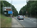
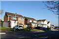
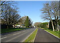
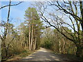
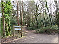
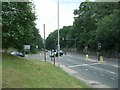
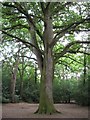
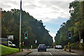
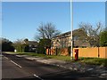
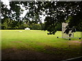
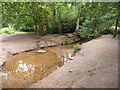
32 photos from this area
Area Information
Key information about the BH21 1SS including its size, population, and administrative classification.
- Area Type
- Postcode
- Area Size
- 8299 m²
- Population
- 1605
- Population Density
- 866 people/km²
House Prices in BH21 1SS
16
Properties
£305,038
Average Sold Price
£78,500
Lowest Price
£515,000
Highest Price
Showing 16 properties
| Address | Type | Beds | Baths | Last Sale Price | Last Sale Date | |
|---|---|---|---|---|---|---|
| 33 Rempstone Road, Poole, BH21 1SS | house | - | - | £515,000 | Dec 2024 | |
| 41 Rempstone Road, Poole, BH21 1SS | Detached | 4 | - | £430,000 | Nov 2023 | |
| 19 Rempstone Road, Poole, BH21 1SS | Detached | 4 | 1 | £475,000 | Sep 2023 | |
| 35 Rempstone Road, Poole, BH21 1SS | Detached | 3 | - | £435,000 | Apr 2022 | |
| 15 Rempstone Road, Poole, BH21 1SS | Detached | 4 | 2 | £430,000 | Feb 2021 | |
| 21 Rempstone Road, Poole, BH21 1SS | house | - | - | £301,000 | Oct 2011 | |
| 27 Rempstone Road, Poole, BH21 1SS | Detached | 4 | 2 | £325,000 | Nov 2007 | |
| 23 Rempstone Road, Poole, BH21 1SS | Detached | - | - | £275,000 | Jul 2007 | |
| 29 Rempstone Road, Poole, BH21 1SS | Detached | - | - | £164,950 | Jun 2001 | |
| 43 Rempstone Road, Poole, BH21 1SS | house | - | - | £137,000 | May 1998 |
Page 1 of 2
Energy Efficiency in BH21 1SS
Amenities
Schools
| Rank | School | Type | Entry gender | Ages |
|---|
Explore more schools in this area
Go to Schools tabDemographics
Household Size
Two person
most common
Accommodation Type
Houses
most common
Tenure
92
majority
Ethnic Group
White
most common
Religion
N/A
most common
Household Composition
N/A
most common
Age
47
median
Adults (30-64 years)
most common
Household Deprivation
N/A
with no deprivation
NS-SEC
43
in Lower managerial occupations
Explore more demographic insights in this area
Go to Demographics tabPlanning
Planning Constraints
- Flood RiskPremium
- Ramsar Wetland SitesPremium
- Area of Outstanding Natural BeautyPremium
- Protected Nature ReservePremium
- Protected WoodlandPremium