Area Overview for BH2 6JG
Photos of BH2 6JG
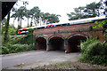
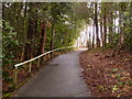
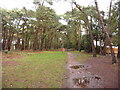
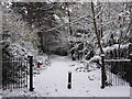
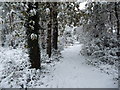
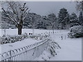
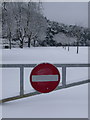
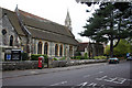
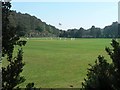
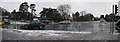
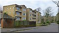
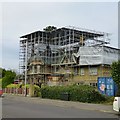
88 photos from this area
Area Information
Key information about the BH2 6JG including its size, population, and administrative classification.
- Area Type
- Postcode
- Area Size
- 2.3 hectares
- Population
- 1866
- Population Density
- 1292 people/km²
House Prices in BH2 6JG
11
Properties
£523,750
Average Sold Price
£400,000
Lowest Price
£712,500
Highest Price
Showing 11 properties
| Address | Type | Beds | Baths | Last Sale Price | Last Sale Date | |
|---|---|---|---|---|---|---|
| 11 Wychwood Drive, Bournemouth, BH2 6JG | Semi-detached | 3 | 2 | £580,000 | Jan 2024 | |
| 10 Wychwood Drive, Bournemouth, BH2 6JG | house | - | - | £712,500 | Aug 2022 | |
| 2 Wychwood Drive, Bournemouth, BH2 6JG | Detached | 4 | 2 | £620,000 | Sep 2020 | |
| 6 Wychwood Drive, Bournemouth, BH2 6JG | house | - | - | £545,000 | Feb 2020 | |
| 7 Wychwood Drive, Bournemouth, BH2 6JG | house | - | - | £535,000 | Aug 2017 | |
| 5 Wychwood Drive, Bournemouth, BH2 6JG | house | - | - | £492,500 | Nov 2011 | |
| 8 Wychwood Drive, Bournemouth, BH2 6JG | house | 3 | - | £427,500 | Aug 2011 | |
| 3 Wychwood Drive, Bournemouth, BH2 6JG | house | - | - | £500,000 | Jul 2010 | |
| 9 Wychwood Drive, Bournemouth, BH2 6JG | house | 3 | 2 | £400,000 | Sep 2009 | |
| 1 Wychwood Drive, Bournemouth, BH2 6JG | Detached | - | - | £425,000 | Sep 2005 |
Page 1 of 2
Energy Efficiency in BH2 6JG
Amenities
Schools
| Rank | School | Type | Entry gender | Ages |
|---|
Explore more schools in this area
Go to Schools tabDemographics
Household Size
Two person
most common
Accommodation Type
Houses
most common
Tenure
75
majority
Ethnic Group
White
most common
Religion
N/A
most common
Household Composition
N/A
most common
Age
47
median
Adults (30-64 years)
most common
Household Deprivation
N/A
with no deprivation
NS-SEC
48
in Lower managerial occupations
Explore more demographic insights in this area
Go to Demographics tabPlanning
Planning Constraints
- Flood RiskPremium
- Ramsar Wetland SitesPremium
- Area of Outstanding Natural BeautyPremium
- Protected Nature ReservePremium
- Protected WoodlandPremium