Area Overview for BH19 2RN
Photos of BH19 2RN
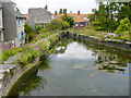
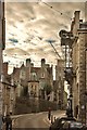
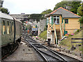
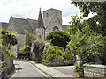
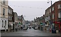
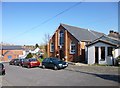
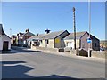
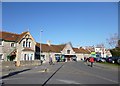
100 photos from this area
Area Information
Key information about the BH19 2RN including its size, population, and administrative classification.
- Area Type
- Postcode
- Area Size
- 1773 m²
- Population
- 1561
- Population Density
- 4982 people/km²
House Prices in BH19 2RN
10
Properties
£181,883
Average Sold Price
£52,500
Lowest Price
£260,000
Highest Price
Showing 10 properties
| Address | Type | Beds | Baths | Last Sale Price | Last Sale Date | |
|---|---|---|---|---|---|---|
| 26 Priests Road, Swanage, BH19 2RN | Terraced | 2 | 1 | £260,000 | Mar 2025 | |
| 18 Priests Road, Swanage, BH19 2RN | Terraced | 1 | 1 | £202,000 | Feb 2020 | |
| 16 Priests Road, Swanage, BH19 2RN | Terraced | 2 | 1 | £203,000 | Mar 2018 | |
| 20 Priests Road, Swanage, BH19 2RN | Terraced | 3 | 2 | £235,000 | Oct 2017 | |
| 30 Priests Road, Swanage, BH19 2RN | Terraced | 3 | 1 | £239,950 | Mar 2015 | |
| 10-12 Priests Road, Swanage, BH19 2RN | house | 3 | - | £181,000 | Nov 2011 | |
| 24 Priests Road, Swanage, BH19 2RN | Terraced | - | - | £168,500 | Mar 2004 | |
| 28 Priests Road, Swanage, BH19 2RN | Terraced | - | - | £95,000 | May 2001 | |
| 22 Priests Road, Swanage, BH19 2RN | Terraced | 2 | 1 | £52,500 | Dec 1998 | |
| 2 Priests Road, Swanage, BH19 2RN | Semi-detached | - | - | - | - |
Energy Efficiency in BH19 2RN
Amenities
Schools
| Rank | School | Type | Entry gender | Ages |
|---|
Explore more schools in this area
Go to Schools tabDemographics
Household Size
One person
most common
Accommodation Type
Houses
most common
Tenure
60
majority
Ethnic Group
White
most common
Religion
N/A
most common
Household Composition
N/A
most common
Age
47
median
Adults (30-64 years)
most common
Household Deprivation
N/A
with no deprivation
NS-SEC
32
in Lower managerial occupations
Explore more demographic insights in this area
Go to Demographics tabPlanning
Planning Constraints
- Flood RiskPremium
- Ramsar Wetland SitesPremium
- Area of Outstanding Natural BeautyPremium
- Protected Nature ReservePremium
- Protected WoodlandPremium