Area Overview for BH19 1HZ
Photos of BH19 1HZ
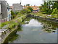
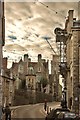
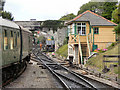
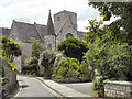
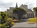
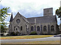
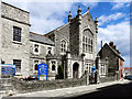
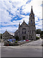
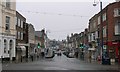
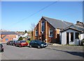
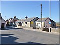
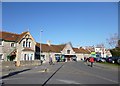
100 photos from this area
Area Information
Key information about the BH19 1HZ including its size, population, and administrative classification.
- Area Type
- Postcode
- Area Size
- 8128 m²
- Population
- 1561
- Population Density
- 4982 people/km²
House Prices in BH19 1HZ
46
Properties
£294,070
Average Sold Price
£83,000
Lowest Price
£587,500
Highest Price
Showing 46 properties
| Address | Type | Beds | Baths | Last Sale Price | Last Sale Date | |
|---|---|---|---|---|---|---|
| 17 Argyle Road, Swanage, BH19 1HZ | Terraced | 5 | 2 | £325,000 | Apr 2025 | |
| 8 ARGYLE ROAD, Swanage, BH19 1HZ | Semi-detached | 7 | 5 | £587,500 | Jul 2022 | |
| 11B Argyle Road, Swanage, BH19 1HZ | house | 5 | 5 | £467,000 | Jul 2022 | |
| 10 Argyle Road, Swanage, BH19 1HZ | Semi-detached | 4 | 1 | £272,000 | Aug 2020 | |
| 11A Argyle Road, Swanage, BH19 1HZ | house | 3 | - | £375,000 | Feb 2020 | |
| 23 Argyle Road, Swanage, BH19 1HZ | Terraced | 4 | 2 | £395,000 | Sep 2019 | |
| 27A Argyle Road, Swanage, BH19 1HZ | Maisonette | 2 | 1 | £199,950 | Feb 2018 | |
| 24 Argyle Road, Swanage, BH19 1HZ | Semi-detached | 3 | 1 | £325,000 | Nov 2016 | |
| 21 Argyle Road, Swanage, BH19 1HZ | house | - | - | £345,000 | Apr 2016 | |
| 4 Argyle Road, Swanage, BH19 1HZ | Semi-detached | 5 | - | £375,000 | Mar 2016 |
Page 1 of 5
Energy Efficiency in BH19 1HZ
Amenities
Schools
| Rank | School | Type | Entry gender | Ages |
|---|
Explore more schools in this area
Go to Schools tabDemographics
Household Size
One person
most common
Accommodation Type
Houses
most common
Tenure
60
majority
Ethnic Group
White
most common
Religion
N/A
most common
Household Composition
N/A
most common
Age
47
median
Adults (30-64 years)
most common
Household Deprivation
N/A
with no deprivation
NS-SEC
32
in Lower managerial occupations
Explore more demographic insights in this area
Go to Demographics tabPlanning
Planning Constraints
- Flood RiskPremium
- Ramsar Wetland SitesPremium
- Area of Outstanding Natural BeautyPremium
- Protected Nature ReservePremium
- Protected WoodlandPremium