Area Overview for BH19 1HU
Photos of BH19 1HU
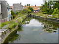
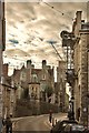
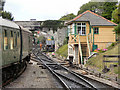
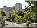
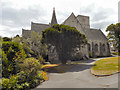
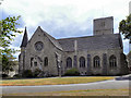
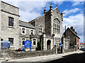
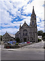
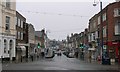
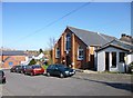
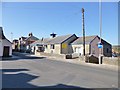
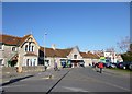
100 photos from this area
Area Information
Key information about the BH19 1HU including its size, population, and administrative classification.
- Area Type
- Postcode
- Area Size
- 1.4 hectares
- Population
- 1561
- Population Density
- 111055 people/km²
House Prices in BH19 1HU
24
Properties
£330,792
Average Sold Price
£86,500
Lowest Price
£620,000
Highest Price
Showing 24 properties
| Address | Type | Beds | Baths | Last Sale Price | Last Sale Date | |
|---|---|---|---|---|---|---|
| 8 CHURCH HILL, Swanage, BH19 1HU | Cottage | 3 | 2 | £495,000 | Mar 2024 | |
| Stillwaters, 33 Church Hill, Swanage, BH19 1HU | Detached | 4 | - | £620,000 | Aug 2019 | |
| 31 Church Hill, Swanage, BH19 1HU | house | - | - | £525,000 | Oct 2018 | |
| 23 Church Hill, Swanage, BH19 1HU | Terraced | 2 | 1 | £380,000 | Sep 2017 | |
| 4 Church Hill, Swanage, BH19 1HU | Detached | 4 | 1 | £300,000 | Mar 2014 | |
| 9 CHURCH HILL, Swanage, BH19 1HU | Detached | - | - | £460,000 | Jan 2009 | |
| 7 Church Hill, Swanage, BH19 1HU | house | - | - | £350,000 | Mar 2006 | |
| Swanwic Orchard, Church Hill, Swanage, BH19 1HU | Detached | - | - | £318,000 | Aug 2002 | |
| 27 Church Hill, Swanage, BH19 1HU | house | - | - | £170,000 | Feb 2002 | |
| 18 Church Hill, Swanage, BH19 1HU | Semi-detached | - | - | £86,500 | Apr 1999 |
Page 1 of 3
Energy Efficiency in BH19 1HU
Amenities
Schools
| Rank | School | Type | Entry gender | Ages |
|---|
Explore more schools in this area
Go to Schools tabDemographics
Household Size
One person
most common
Accommodation Type
Houses
most common
Tenure
60
majority
Ethnic Group
White
most common
Religion
N/A
most common
Household Composition
N/A
most common
Age
47
median
Adults (30-64 years)
most common
Household Deprivation
N/A
with no deprivation
NS-SEC
32
in Lower managerial occupations
Explore more demographic insights in this area
Go to Demographics tabPlanning
Planning Constraints
- Flood RiskPremium
- Ramsar Wetland SitesPremium
- Area of Outstanding Natural BeautyPremium
- Protected Nature ReservePremium
- Protected WoodlandPremium