Area Overview for BH18 9ND
Photos of BH18 9ND
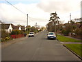
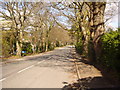
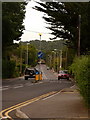
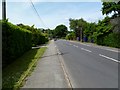
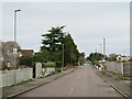
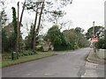
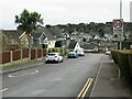
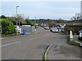
19 photos from this area
Area Information
Key information about the BH18 9ND including its size, population, and administrative classification.
- Area Type
- Postcode
- Area Size
- 4.0 hectares
- Population
- Not available
- Population Density
- Not available
House Prices in BH18 9ND
33
Properties
£455,548
Average Sold Price
£123,500
Lowest Price
£940,000
Highest Price
Showing 33 properties
| Address | Type | Beds | Baths | Last Sale Price | Last Sale Date | |
|---|---|---|---|---|---|---|
| 29 Corfe Way, Poole, BH18 9ND | house | 5 | 5 | £940,000 | Mar 2024 | |
| 13 Corfe Way, Poole, BH18 9ND | house | - | - | £620,000 | Nov 2020 | |
| 45 Corfe Way, Poole, BH18 9ND | Bungalow | - | - | £577,500 | Jul 2019 | |
| 59 Corfe Way, Poole, BH18 9ND | Bungalow | 3 | 2 | £475,000 | May 2019 | |
| 7 Corfe Way, Poole, BH18 9ND | Detached | 4 | 3 | £700,000 | Sep 2016 | |
| 3 Corfe Way, Poole, BH18 9ND | Bungalow | 4 | - | £450,000 | Oct 2015 | |
| 5 Corfe Way, Poole, BH18 9ND | Detached | 3 | - | £445,000 | Jul 2015 | |
| 25 Corfe Way, Poole, BH18 9ND | Detached | 4 | 1 | £480,000 | Mar 2015 | |
| 47 Corfe Way, Poole, BH18 9ND | Detached | 3 | 2 | £442,500 | Dec 2014 | |
| 39 Corfe Way, Poole, BH18 9ND | house | - | - | £525,000 | Jul 2013 |
Page 1 of 4
Energy Efficiency in BH18 9ND
Amenities
Schools
| Rank | School | Type | Entry gender | Ages |
|---|
Explore more schools in this area
Go to Schools tabDemographics
Household Size
Family (3-5 people)
most common
Accommodation Type
Houses
most common
Tenure
97
majority
Ethnic Group
White
most common
Religion
N/A
most common
Household Composition
N/A
most common
Age
47
median
Adults (30-64 years)
most common
Household Deprivation
N/A
with no deprivation
NS-SEC
49
in Lower managerial occupations
Explore more demographic insights in this area
Go to Demographics tabPlanning
Planning Constraints
- Flood RiskPremium
- Ramsar Wetland SitesPremium
- Area of Outstanding Natural BeautyPremium
- Protected Nature ReservePremium
- Protected WoodlandPremium