Area Overview for BH18 9BX
Photos of BH18 9BX
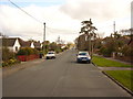
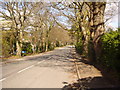
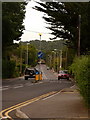
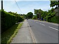
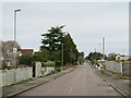
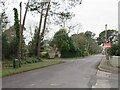
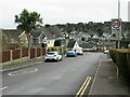
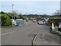
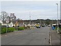
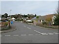
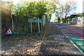
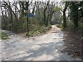
19 photos from this area
Area Information
Key information about the BH18 9BX including its size, population, and administrative classification.
- Area Type
- Postcode
- Area Size
- 8466 m²
- Population
- 1625
- Population Density
- 2866 people/km²
House Prices in BH18 9BX
11
Properties
£347,883
Average Sold Price
£120,000
Lowest Price
£765,000
Highest Price
Showing 11 properties
| Address | Type | Beds | Baths | Last Sale Price | Last Sale Date | |
|---|---|---|---|---|---|---|
| 40 Springdale Road, Poole, BH18 9BX | house | 4 | 2 | £765,000 | Apr 2023 | |
| 46 Springdale Road, Poole, BH18 9BX | Semi-detached | 3 | 1 | £430,000 | Jul 2022 | |
| 46A Springdale Road, Poole, BH18 9BX | Semi-detached | 3 | 1 | £380,000 | Dec 2018 | |
| 50 Springdale Road, Poole, BH18 9BX | Semi-detached | 3 | - | £295,000 | Apr 2014 | |
| 42 Springdale Road, Poole, BH18 9BX | Semi-detached | 3 | - | £300,000 | Sep 2013 | |
| 54 Springdale Road, Poole, BH18 9BX | house | - | - | £259,950 | Dec 2010 | |
| 56 Springdale Road, Poole, BH18 9BX | Detached | - | - | £386,000 | Aug 2004 | |
| 48 Springdale Road, Poole, BH18 9BX | Semi-detached | - | - | £195,000 | Jun 2001 | |
| 52 Springdale Road, Poole, BH18 9BX | Semi-detached | - | - | £120,000 | Oct 2000 | |
| 44 Springdale Road, Poole, BH18 9BX | Semi-detached | - | - | - | - |
Page 1 of 2
Energy Efficiency in BH18 9BX
Amenities
Schools
| Rank | School | Type | Entry gender | Ages |
|---|
Explore more schools in this area
Go to Schools tabDemographics
Household Size
Family (3-5 people)
most common
Accommodation Type
Houses
most common
Tenure
95
majority
Ethnic Group
White
most common
Religion
N/A
most common
Household Composition
N/A
most common
Age
47
median
Adults (30-64 years)
most common
Household Deprivation
N/A
with no deprivation
NS-SEC
45
in Lower managerial occupations
Explore more demographic insights in this area
Go to Demographics tabPlanning
Planning Constraints
- Flood RiskPremium
- Ramsar Wetland SitesPremium
- Area of Outstanding Natural BeautyPremium
- Protected Nature ReservePremium
- Protected WoodlandPremium