Area Overview for BH17 7HJ
Photos of BH17 7HJ
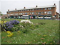
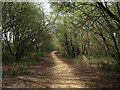
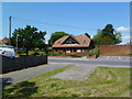
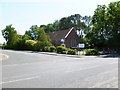
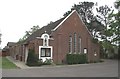
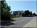
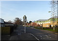
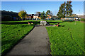
34 photos from this area
Area Information
Key information about the BH17 7HJ including its size, population, and administrative classification.
- Area Type
- Postcode
- Area Size
- 1.9 hectares
- Population
- 1593
- Population Density
- 1224 people/km²
House Prices in BH17 7HJ
32
Properties
£247,955
Average Sold Price
£63,500
Lowest Price
£495,000
Highest Price
Showing 32 properties
| Address | Type | Beds | Baths | Last Sale Price | Last Sale Date | |
|---|---|---|---|---|---|---|
| 3 Rugby Road, Poole, BH17 7HJ | Bungalow | 2 | 1 | £300,000 | Feb 2024 | |
| 31 Rugby Road, Poole, BH17 7HJ | Bungalow | 4 | 2 | £495,000 | Sep 2023 | |
| 4 Rugby Road, Poole, BH17 7HJ | Bungalow | 3 | 1 | £360,000 | Dec 2021 | |
| 20 Rugby Road, Poole, BH17 7HJ | Bungalow | - | - | £330,000 | Jan 2020 | |
| 5 Rugby Road, Poole, BH17 7HJ | Bungalow | - | - | £279,950 | Jan 2020 | |
| 35 Rugby Road, Poole, BH17 7HJ | Detached | - | - | £198,750 | Jul 2017 | |
| 13 Rugby Road, Poole, BH17 7HJ | Bungalow | - | - | £310,000 | Jan 2017 | |
| 8 Rugby Road, Poole, BH17 7HJ | Bungalow | - | - | £233,500 | Feb 2016 | |
| 2 Rugby Road, Poole, BH17 7HJ | Bungalow | - | - | £295,000 | Jan 2015 | |
| 12 Rugby Road, Poole, BH17 7HJ | Bungalow | 2 | - | £212,500 | Jun 2014 |
Page 1 of 4
Energy Efficiency in BH17 7HJ
Amenities
Schools
| Rank | School | Type | Entry gender | Ages |
|---|
Explore more schools in this area
Go to Schools tabDemographics
Household Size
Two person
most common
Accommodation Type
Houses
most common
Tenure
81
majority
Ethnic Group
White
most common
Religion
N/A
most common
Household Composition
N/A
most common
Age
47
median
Adults (30-64 years)
most common
Household Deprivation
N/A
with no deprivation
NS-SEC
25
in Lower managerial occupations
Explore more demographic insights in this area
Go to Demographics tabPlanning
Planning Constraints
- Flood RiskPremium
- Ramsar Wetland SitesPremium
- Area of Outstanding Natural BeautyPremium
- Protected Nature ReservePremium
- Protected WoodlandPremium