Area Overview for BH16 5AH
Photos of BH16 5AH
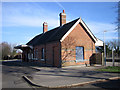
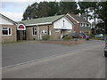
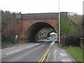
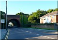
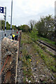
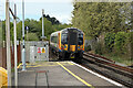
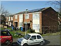
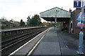
27 photos from this area
Area Information
Key information about the BH16 5AH including its size, population, and administrative classification.
- Area Type
- Postcode
- Area Size
- 13.3 hectares
- Population
- 1783
- Population Density
- 1618 people/km²
House Prices in BH16 5AH
22
Properties
£167,315
Average Sold Price
£38,000
Lowest Price
£327,650
Highest Price
Showing 22 properties
| Address | Type | Beds | Baths | Last Sale Price | Last Sale Date | |
|---|---|---|---|---|---|---|
| 100 Turlin Road, Poole, BH16 5AH | Semi-detached | 2 | 1 | £265,000 | Nov 2024 | |
| 88 Turlin Road, Poole, BH16 5AH | house | - | - | £280,000 | Mar 2024 | |
| 82 Turlin Road, Poole, BH16 5AH | Terraced | 3 | 1 | £210,000 | Mar 2023 | |
| 108 Turlin Road, Poole, BH16 5AH | Retail | 3 | 1 | £327,650 | Nov 2022 | |
| 76 Turlin Road, Poole, BH16 5AH | Semi-detached | 3 | 1 | £150,000 | May 2010 | |
| 98 Turlin Road, Poole, BH16 5AH | house | - | - | £142,500 | Feb 2008 | |
| 86 Turlin Road, Poole, BH16 5AH | Terraced | - | - | £145,000 | Jul 2006 | |
| 90 Turlin Road, Poole, BH16 5AH | house | - | - | £70,000 | Aug 2003 | |
| 80 Turlin Road, Poole, BH16 5AH | house | - | - | £45,000 | Jun 1999 | |
| 78 Turlin Road, Poole, BH16 5AH | Semi-detached | - | - | £38,000 | Apr 1995 |
Page 1 of 3
Energy Efficiency in BH16 5AH
Amenities
Schools
| Rank | School | Type | Entry gender | Ages |
|---|
Explore more schools in this area
Go to Schools tabDemographics
Household Size
Family (3-5 people)
most common
Accommodation Type
Houses
most common
Tenure
55
majority
Ethnic Group
White
most common
Religion
N/A
most common
Household Composition
N/A
most common
Age
47
median
Adults (30-64 years)
most common
Household Deprivation
N/A
with no deprivation
NS-SEC
20
in Lower managerial occupations
Explore more demographic insights in this area
Go to Demographics tabPlanning
Planning Constraints
- Flood RiskPremium
- Ramsar Wetland SitesPremium
- Area of Outstanding Natural BeautyPremium
- Protected Nature ReservePremium
- Protected WoodlandPremium