Area Overview for BH15 3RS
Photos of BH15 3RS
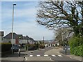
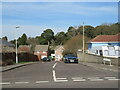
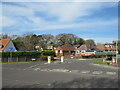
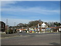
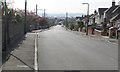
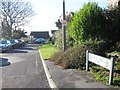
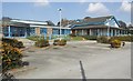
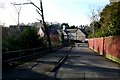
24 photos from this area
Area Information
Key information about the BH15 3RS including its size, population, and administrative classification.
- Area Type
- Postcode
- Area Size
- 1.6 hectares
- Population
- 1716
- Population Density
- 4093 people/km²
House Prices in BH15 3RS
35
Properties
£285,005
Average Sold Price
£64,000
Lowest Price
£595,000
Highest Price
Showing 35 properties
| Address | Type | Beds | Baths | Last Sale Price | Last Sale Date | |
|---|---|---|---|---|---|---|
| 121 Pound Lane, Poole, BH15 3RS | Chalet | 4 | 3 | £595,000 | Aug 2023 | |
| 97 Pound Lane, Poole, BH15 3RS | Chalet | 4 | 2 | £586,000 | Jun 2023 | |
| 96 Pound Lane, Poole, BH15 3RS | Bungalow | 2 | 2 | £590,000 | Nov 2022 | |
| 105 Pound Lane, Poole, BH15 3RS | Bungalow | 4 | - | £438,500 | Mar 2021 | |
| 108 Pound Lane, Poole, BH15 3RS | Bungalow | - | - | £320,000 | Mar 2021 | |
| 113 Pound Lane, Poole, BH15 3RS | Semi-detached | - | - | £440,000 | Jul 2019 | |
| 115 Pound Lane, Poole, BH15 3RS | Detached | 3 | 2 | £496,500 | Apr 2019 | |
| 99 Pound Lane, Poole, BH15 3RS | house | - | - | £365,000 | Sep 2017 | |
| 88 Pound Lane, Poole, BH15 3RS | Bungalow | 2 | - | £295,000 | Feb 2017 | |
| 125 Pound Lane, Poole, BH15 3RS | house | 4 | - | £415,000 | Sep 2016 |
Page 1 of 4
Energy Efficiency in BH15 3RS
Amenities
Schools
| Rank | School | Type | Entry gender | Ages |
|---|
Explore more schools in this area
Go to Schools tabDemographics
Household Size
Two person
most common
Accommodation Type
Houses
most common
Tenure
88
majority
Ethnic Group
White
most common
Religion
N/A
most common
Household Composition
N/A
most common
Age
47
median
Adults (30-64 years)
most common
Household Deprivation
N/A
with no deprivation
NS-SEC
39
in Lower managerial occupations
Explore more demographic insights in this area
Go to Demographics tabPlanning
Planning Constraints
- Flood RiskPremium
- Ramsar Wetland SitesPremium
- Area of Outstanding Natural BeautyPremium
- Protected Nature ReservePremium
- Protected WoodlandPremium