Area Overview for BH15 1NQ
Photos of BH15 1NQ
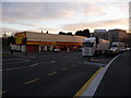
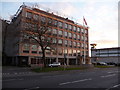
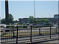
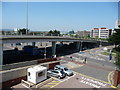
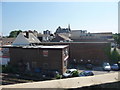
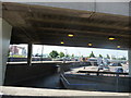
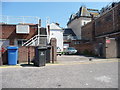
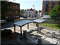
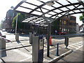
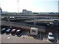
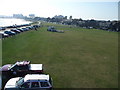
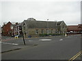
100 photos from this area
Area Information
Key information about the BH15 1NQ including its size, population, and administrative classification.
- Area Type
- Postcode
- Area Size
- 1.9 hectares
- Population
- 1280
- Population Density
- 3123 people/km²
House Prices in BH15 1NQ
18
Properties
£237,100
Average Sold Price
£32,000
Lowest Price
£450,000
Highest Price
Showing 18 properties
| Address | Type | Beds | Baths | Last Sale Price | Last Sale Date | |
|---|---|---|---|---|---|---|
| 18 Market Close, Poole, BH15 1NQ | house | 4 | - | £415,000 | Aug 2023 | |
| 16 Market Close, Poole, BH15 1NQ | Retail | 3 | 2 | £372,000 | Mar 2022 | |
| 23 Market Close, Poole, BH15 1NQ | Terraced | 4 | 2 | £450,000 | Jan 2021 | |
| 20 Market Close, Poole, BH15 1NQ | Terraced | 4 | 3 | £285,000 | May 2019 | |
| 21 Market Close, Poole, BH15 1NQ | Terraced | 5 | - | £335,000 | Sep 2015 | |
| 22 Market Close, Poole, BH15 1NQ | Terraced | 4 | 3 | £250,000 | Jun 2014 | |
| 10 Market Close, Poole, BH15 1NQ | Terraced | - | - | £89,000 | Aug 1999 | |
| 8 Market Close, Poole, BH15 1NQ | Terraced | - | - | £32,000 | Mar 1998 | |
| 19 Market Close, Poole, BH15 1NQ | house | - | - | £78,000 | Mar 1997 | |
| 14 Market Close, Poole, BH15 1NQ | house | - | - | £65,000 | Feb 1996 |
Page 1 of 2
Energy Efficiency in BH15 1NQ
Amenities
Schools
| Rank | School | Type | Entry gender | Ages |
|---|
Explore more schools in this area
Go to Schools tabDemographics
Household Size
One person
most common
Accommodation Type
Flats
most common
Tenure
27
majority
Ethnic Group
White
most common
Religion
N/A
most common
Household Composition
N/A
most common
Age
47
median
Adults (30-64 years)
most common
Household Deprivation
N/A
with no deprivation
NS-SEC
24
in Lower managerial occupations
Explore more demographic insights in this area
Go to Demographics tabPlanning
Planning Constraints
- Flood RiskPremium
- Ramsar Wetland SitesPremium
- Area of Outstanding Natural BeautyPremium
- Protected Nature ReservePremium
- Protected WoodlandPremium