Area Overview for BH14 8PX
Photos of BH14 8PX
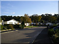
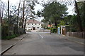
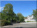
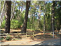
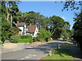
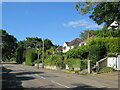
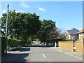
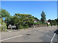
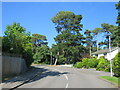
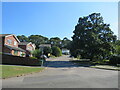
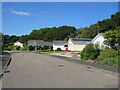
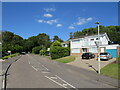
26 photos from this area
Area Information
Key information about the BH14 8PX including its size, population, and administrative classification.
- Area Type
- Postcode
- Area Size
- 1.6 hectares
- Population
- 1550
- Population Density
- 1770 people/km²
House Prices in BH14 8PX
18
Properties
£827,215
Average Sold Price
£395,000
Lowest Price
£1,375,000
Highest Price
Showing 18 properties
| Address | Type | Beds | Baths | Last Sale Price | Last Sale Date | |
|---|---|---|---|---|---|---|
| 73 Compton Avenue, Poole, BH14 8PX | Detached | 4 | 3 | £640,000 | Mar 2025 | |
| 65 Compton Avenue, Poole, BH14 8PX | Detached | 4 | 2 | £1,375,000 | May 2024 | |
| 71 Compton Avenue, Poole, BH14 8PX | Detached | 4 | 1 | £920,000 | Jul 2023 | |
| 69 Compton Avenue, Poole, BH14 8PX | Detached | 4 | 2 | £1,250,000 | Sep 2022 | |
| 85 Compton Avenue, Poole, BH14 8PX | Detached | 4 | 2 | £735,000 | May 2020 | |
| 83 Compton Avenue, Poole, BH14 8PX | Detached | 3 | 3 | £827,500 | Jan 2018 | |
| 89 Compton Avenue, Poole, BH14 8PX | house | - | - | £805,000 | Aug 2016 | |
| 97 Compton Avenue, Poole, BH14 8PX | Detached | 4 | - | £880,000 | Sep 2015 | |
| 75 Compton Avenue, Poole, BH14 8PX | Detached | 4 | - | £694,800 | Jun 2015 | |
| 95 Compton Avenue, Poole, BH14 8PX | Detached | 4 | 3 | £835,000 | Jun 2015 |
Page 1 of 2
Energy Efficiency in BH14 8PX
Amenities
Schools
| Rank | School | Type | Entry gender | Ages |
|---|
Explore more schools in this area
Go to Schools tabDemographics
Household Size
Two person
most common
Accommodation Type
Houses
most common
Tenure
92
majority
Ethnic Group
White
most common
Religion
N/A
most common
Household Composition
N/A
most common
Age
47
median
Adults (30-64 years)
most common
Household Deprivation
N/A
with no deprivation
NS-SEC
52
in Lower managerial occupations
Explore more demographic insights in this area
Go to Demographics tabPlanning
Planning Constraints
- Flood RiskPremium
- Ramsar Wetland SitesPremium
- Area of Outstanding Natural BeautyPremium
- Protected Nature ReservePremium
- Protected WoodlandPremium