Area Overview for BH14 0RG
Photos of BH14 0RG
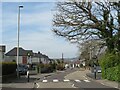
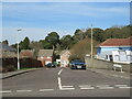
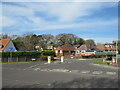
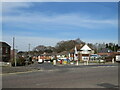
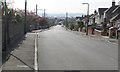
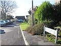
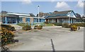
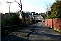
24 photos from this area
Area Information
Key information about the BH14 0RG including its size, population, and administrative classification.
- Area Type
- Postcode
- Area Size
- 4.0 hectares
- Population
- Not available
- Population Density
- Not available
House Prices in BH14 0RG
22
Properties
£236,262
Average Sold Price
£119,950
Lowest Price
£329,000
Highest Price
Showing 22 properties
| Address | Type | Beds | Baths | Last Sale Price | Last Sale Date | |
|---|---|---|---|---|---|---|
| 55 Ringwood Road, Poole, BH14 0RG | Semi-detached | 4 | 1 | £315,000 | Oct 2025 | |
| 47 Ringwood Road, Poole, BH14 0RG | house | 3 | 1 | £329,000 | Apr 2022 | |
| 37 Ringwood Road, Poole, BH14 0RG | Flat | 1 | 1 | £267,500 | Nov 2019 | |
| 31 Ringwood Road, Poole, BH14 0RG | Semi-detached | 4 | 2 | £230,000 | Jul 2019 | |
| 51 Ringwood Road, Poole, BH14 0RG | Semi-detached | 4 | 1 | £281,500 | Mar 2019 | |
| 35 Ringwood Road, Poole, BH14 0RG | house | - | - | £274,000 | Jan 2019 | |
| 33 Ringwood Road, Poole, BH14 0RG | house | - | - | £325,000 | May 2018 | |
| 41 Ringwood Road, Poole, BH14 0RG | Semi-detached | 3 | - | £211,000 | Dec 2013 | |
| 59 Ringwood Road, Poole, BH14 0RG | Semi-detached | 3 | 1 | £192,000 | Aug 2013 | |
| 57 Ringwood Road, Poole, BH14 0RG | house | - | - | £166,500 | Aug 2011 |
Page 1 of 3
Energy Efficiency in BH14 0RG
Amenities
Schools
| Rank | School | Type | Entry gender | Ages |
|---|
Explore more schools in this area
Go to Schools tabDemographics
Household Size
Two person
most common
Accommodation Type
Houses
most common
Tenure
72
majority
Ethnic Group
White
most common
Religion
N/A
most common
Household Composition
N/A
most common
Age
47
median
Adults (30-64 years)
most common
Household Deprivation
N/A
with no deprivation
NS-SEC
31
in Lower managerial occupations
Explore more demographic insights in this area
Go to Demographics tabPlanning
Planning Constraints
- Flood RiskPremium
- Ramsar Wetland SitesPremium
- Area of Outstanding Natural BeautyPremium
- Protected Nature ReservePremium
- Protected WoodlandPremium