Area Overview for BH14 0PE
Photos of BH14 0PE
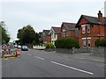
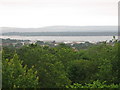
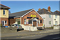
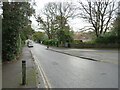
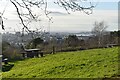
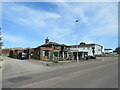
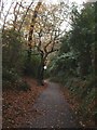
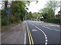
33 photos from this area
Area Information
Key information about the BH14 0PE including its size, population, and administrative classification.
- Area Type
- Postcode
- Area Size
- 1.6 hectares
- Population
- Not available
- Population Density
- Not available
House Prices in BH14 0PE
21
Properties
£586,804
Average Sold Price
£332,000
Lowest Price
£805,000
Highest Price
Showing 21 properties
| Address | Type | Beds | Baths | Last Sale Price | Last Sale Date | |
|---|---|---|---|---|---|---|
| 10A Harbour View Road, Poole, BH14 0PE | Detached | 3 | 1 | £650,000 | Dec 2023 | |
| 4 Harbour View Road, Poole, BH14 0PE | Detached | 4 | 1 | £805,000 | Apr 2023 | |
| 8 Harbour View Road, Poole, BH14 0PE | house | 3 | 1 | £775,000 | Sep 2022 | |
| 32 Harbour View Road, Poole, BH14 0PE | Bungalow | 4 | 3 | £660,000 | Dec 2020 | |
| 22 Harbour View Road, Poole, BH14 0PE | Detached | 4 | 1 | £665,000 | Jun 2019 | |
| 28 Harbour View Road, Poole, BH14 0PE | Detached | 5 | 4 | £695,000 | Aug 2018 | |
| 26 Harbour View Road, Poole, BH14 0PE | house | - | - | £610,000 | Feb 2017 | |
| 30 Harbour View Road, Poole, BH14 0PE | Detached | 4 | 2 | £580,000 | Jun 2015 | |
| 2 Harbour View Road, Poole, BH14 0PE | Detached | 4 | - | £475,000 | Jun 2013 | |
| 16 Harbour View Road, Poole, BH14 0PE | house | - | - | £499,950 | Apr 2013 |
Page 1 of 3
Energy Efficiency in BH14 0PE
Amenities
Schools
| Rank | School | Type | Entry gender | Ages |
|---|
Explore more schools in this area
Go to Schools tabDemographics
Household Size
Two person
most common
Accommodation Type
Flats
most common
Tenure
65
majority
Ethnic Group
White
most common
Religion
N/A
most common
Household Composition
N/A
most common
Age
47
median
Adults (30-64 years)
most common
Household Deprivation
N/A
with no deprivation
NS-SEC
47
in Lower managerial occupations
Explore more demographic insights in this area
Go to Demographics tabPlanning
Planning Constraints
- Flood RiskPremium
- Ramsar Wetland SitesPremium
- Area of Outstanding Natural BeautyPremium
- Protected Nature ReservePremium
- Protected WoodlandPremium