Area Overview for BH12 3NZ
Photos of BH12 3NZ
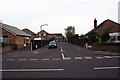
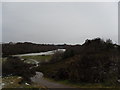
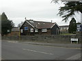
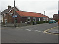
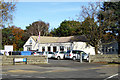
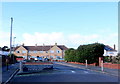
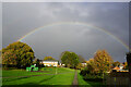
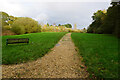
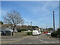
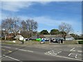
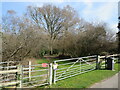
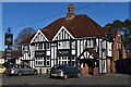
27 photos from this area
Area Information
Key information about the BH12 3NZ including its size, population, and administrative classification.
- Area Type
- Postcode
- Area Size
- 8307 m²
- Population
- Not available
- Population Density
- Not available
House Prices in BH12 3NZ
21
Properties
£221,000
Average Sold Price
£80,500
Lowest Price
£346,000
Highest Price
Showing 21 properties
| Address | Type | Beds | Baths | Last Sale Price | Last Sale Date | |
|---|---|---|---|---|---|---|
| 1 Worbarrow Gardens, Poole, BH12 3NZ | house | - | - | £346,000 | Aug 2022 | |
| 33 Worbarrow Gardens, Poole, BH12 3NZ | house | - | - | £323,500 | Sep 2021 | |
| 23 Worbarrow Gardens, Poole, BH12 3NZ | house | - | - | £265,000 | Mar 2021 | |
| 41 Worbarrow Gardens, Poole, BH12 3NZ | Terraced | 2 | 1 | £259,000 | Oct 2020 | |
| 39 Worbarrow Gardens, Poole, BH12 3NZ | Semi-detached | 3 | 1 | £272,000 | Mar 2020 | |
| 19 Worbarrow Gardens, Poole, BH12 3NZ | Semi-detached | 3 | 2 | £312,000 | Oct 2019 | |
| 3 Worbarrow Gardens, Poole, BH12 3NZ | Semi-detached | - | - | £100,000 | Dec 2005 | |
| 11 Worbarrow Gardens, Poole, BH12 3NZ | house | - | - | £160,000 | Aug 2004 | |
| 31 Worbarrow Gardens, Poole, BH12 3NZ | house | - | - | £92,000 | Mar 2002 | |
| 29 Worbarrow Gardens, Poole, BH12 3NZ | Semi-detached | - | - | £80,500 | May 2001 |
Page 1 of 3
Energy Efficiency in BH12 3NZ
Amenities
Schools
| Rank | School | Type | Entry gender | Ages |
|---|
Explore more schools in this area
Go to Schools tabDemographics
Household Size
One person
most common
Accommodation Type
Houses
most common
Tenure
46
majority
Ethnic Group
White
most common
Religion
N/A
most common
Household Composition
N/A
most common
Age
47
median
Adults (30-64 years)
most common
Household Deprivation
N/A
with no deprivation
NS-SEC
21
in Lower managerial occupations
Explore more demographic insights in this area
Go to Demographics tabPlanning
Planning Constraints
- Flood RiskPremium
- Ramsar Wetland SitesPremium
- Area of Outstanding Natural BeautyPremium
- Protected Nature ReservePremium
- Protected WoodlandPremium