Area Overview for BH12 3AJ
Photos of BH12 3AJ
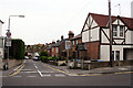
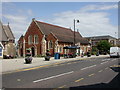
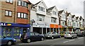
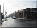
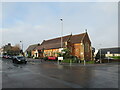
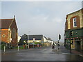
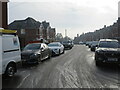
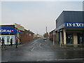
27 photos from this area
Area Information
Key information about the BH12 3AJ including its size, population, and administrative classification.
- Area Type
- Postcode
- Area Size
- 1.3 hectares
- Population
- 1581
- Population Density
- 5054 people/km²
House Prices in BH12 3AJ
24
Properties
£228,734
Average Sold Price
£63,000
Lowest Price
£440,000
Highest Price
Showing 24 properties
| Address | Type | Beds | Baths | Last Sale Price | Last Sale Date | |
|---|---|---|---|---|---|---|
| 19 Jackson Road, Poole, BH12 3AJ | Chalet | 3 | 2 | £430,000 | Jul 2025 | |
| 13 Jackson Road, Poole, BH12 3AJ | Semi-detached | 2 | 1 | £305,000 | May 2024 | |
| 11 Jackson Road, Poole, BH12 3AJ | Bungalow | - | - | £303,000 | Aug 2021 | |
| 14A Jackson Road, Poole, BH12 3AJ | Bungalow | 3 | 1 | £440,000 | Oct 2020 | |
| 17 Jackson Road, Poole, BH12 3AJ | Bungalow | 2 | 1 | £250,000 | Apr 2019 | |
| 21 Jackson Road, Poole, BH12 3AJ | Bungalow | - | - | £310,000 | Oct 2017 | |
| 12 Jackson Road, Poole, BH12 3AJ | Bungalow | 3 | - | £300,000 | Aug 2017 | |
| 20 Jackson Road, Poole, BH12 3AJ | Bungalow | 3 | - | £275,000 | Jun 2016 | |
| 2 Jackson Road, Poole, BH12 3AJ | Bungalow | 2 | 2 | £278,500 | Mar 2016 | |
| 18 Jackson Road, Poole, BH12 3AJ | Bungalow | 2 | 1 | £225,000 | Oct 2014 |
Page 1 of 3
Energy Efficiency in BH12 3AJ
Amenities
Schools
| Rank | School | Type | Entry gender | Ages |
|---|
Explore more schools in this area
Go to Schools tabDemographics
Household Size
Two person
most common
Accommodation Type
Houses
most common
Tenure
82
majority
Ethnic Group
White
most common
Religion
N/A
most common
Household Composition
N/A
most common
Age
47
median
Adults (30-64 years)
most common
Household Deprivation
N/A
with no deprivation
NS-SEC
31
in Lower managerial occupations
Explore more demographic insights in this area
Go to Demographics tabPlanning
Planning Constraints
- Flood RiskPremium
- Ramsar Wetland SitesPremium
- Area of Outstanding Natural BeautyPremium
- Protected Nature ReservePremium
- Protected WoodlandPremium