Area Overview for BH12 2AA
Photos of BH12 2AA
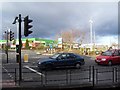
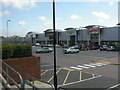
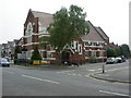
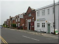


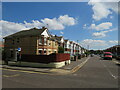
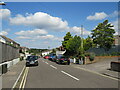
30 photos from this area
Area Information
Key information about the BH12 2AA including its size, population, and administrative classification.
- Area Type
- Postcode
- Area Size
- 6241 m²
- Population
- 1711
- Population Density
- 7044 people/km²
House Prices in BH12 2AA
23
Properties
£230,500
Average Sold Price
£74,500
Lowest Price
£445,000
Highest Price
Showing 23 properties
| Address | Type | Beds | Baths | Last Sale Price | Last Sale Date | |
|---|---|---|---|---|---|---|
| 31 Alder Road, Poole, BH12 2AA | Terraced | 2 | 1 | £300,000 | Dec 2024 | |
| 3 Alder Road, Poole, BH12 2AA | Semi-detached | 5 | 3 | £445,000 | Aug 2023 | |
| 15 Alder Road, Poole, BH12 2AA | Detached | 3 | 1 | £365,000 | Nov 2022 | |
| 41 Alder Road, Poole, BH12 2AA | house | 3 | - | £330,000 | May 2022 | |
| 25 Alder Road, Poole, BH12 2AA | house | 2 | - | £250,000 | Jun 2021 | |
| 27 Alder Road, Poole, BH12 2AA | house | - | - | £250,000 | Mar 2021 | |
| 11 Alder Road, Poole, BH12 2AA | Detached | 2 | 1 | £340,000 | May 2019 | |
| 17 Alder Road, Poole, BH12 2AA | Detached | 3 | 1 | £258,000 | Nov 2018 | |
| 29 Alder Road, Poole, BH12 2AA | Terraced | 2 | 1 | £175,000 | Sep 2014 | |
| 37 Alder Road, Poole, BH12 2AA | Terraced | 2 | 1 | £177,000 | Apr 2014 |
Page 1 of 3
Energy Efficiency in BH12 2AA
Amenities
Schools
| Rank | School | Type | Entry gender | Ages |
|---|
Explore more schools in this area
Go to Schools tabDemographics
Household Size
One person
most common
Accommodation Type
Houses
most common
Tenure
54
majority
Ethnic Group
White
most common
Religion
N/A
most common
Household Composition
N/A
most common
Age
47
median
Adults (30-64 years)
most common
Household Deprivation
N/A
with no deprivation
NS-SEC
31
in Lower managerial occupations
Explore more demographic insights in this area
Go to Demographics tabPlanning
Planning Constraints
- Flood RiskPremium
- Ramsar Wetland SitesPremium
- Area of Outstanding Natural BeautyPremium
- Protected Nature ReservePremium
- Protected WoodlandPremium