Area Overview for BH11 9RQ
Photos of BH11 9RQ
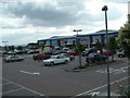
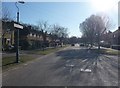
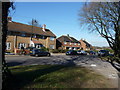
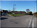
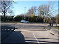
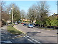
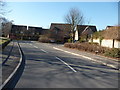
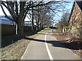
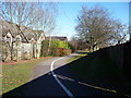
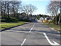
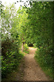
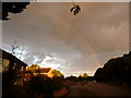
77 photos from this area
Area Information
Key information about the BH11 9RQ including its size, population, and administrative classification.
- Area Type
- Postcode
- Area Size
- 5196 m²
- Population
- 1384
- Population Density
- 3290 people/km²
House Prices in BH11 9RQ
9
Properties
£226,429
Average Sold Price
£105,000
Lowest Price
£327,500
Highest Price
Showing 9 properties
| Address | Type | Beds | Baths | Last Sale Price | Last Sale Date | |
|---|---|---|---|---|---|---|
| 13 Hull Way, Poole, BH11 9RQ | Bungalow | 2 | 1 | £327,500 | Oct 2024 | |
| 17 Hull Way, Poole, BH11 9RQ | Bungalow | 3 | 1 | £320,000 | Nov 2019 | |
| 7 Hull Way, Poole, BH11 9RQ | Bungalow | 2 | - | £200,500 | Mar 2015 | |
| 11 Hull Way, Poole, BH11 9RQ | Bungalow | - | - | £227,000 | Oct 2014 | |
| 3 Hull Way, Poole, BH11 9RQ | Bungalow | 2 | - | £210,000 | Sep 2012 | |
| 5 Hull Way, Poole, BH11 9RQ | Bungalow | - | - | £195,000 | Apr 2006 | |
| 15 Hull Way, Poole, BH11 9RQ | Detached | - | - | £105,000 | Feb 2001 | |
| 9 Hull Way, Poole, BH11 9RQ | Bungalow | - | - | - | - | |
| 1 Hull Way, Poole, BH11 9RQ | Bungalow | 2 | - | - | - |
Energy Efficiency in BH11 9RQ
Amenities
Schools
| Rank | School | Type | Entry gender | Ages |
|---|
Explore more schools in this area
Go to Schools tabDemographics
Household Size
Two person
most common
Accommodation Type
Houses
most common
Tenure
91
majority
Ethnic Group
White
most common
Religion
N/A
most common
Household Composition
N/A
most common
Age
47
median
Elderly (65+ years)
most common
Household Deprivation
N/A
with no deprivation
NS-SEC
30
in Lower managerial occupations
Explore more demographic insights in this area
Go to Demographics tabPlanning
Planning Constraints
- Flood RiskPremium
- Ramsar Wetland SitesPremium
- Area of Outstanding Natural BeautyPremium
- Protected Nature ReservePremium
- Protected WoodlandPremium