Area Overview for BH11 9PP
Photos of BH11 9PP
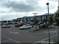
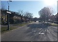
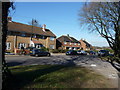
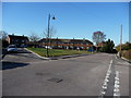
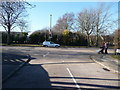
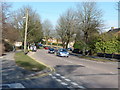
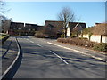
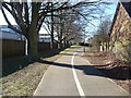
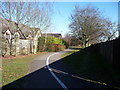
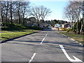
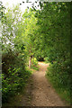
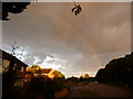
77 photos from this area
Area Information
Key information about the BH11 9PP including its size, population, and administrative classification.
- Area Type
- Postcode
- Area Size
- 4714 m²
- Population
- 1384
- Population Density
- 3290 people/km²
House Prices in BH11 9PP
7
Properties
£272,667
Average Sold Price
£92,000
Lowest Price
£465,000
Highest Price
Showing 7 properties
| Address | Type | Beds | Baths | Last Sale Price | Last Sale Date | |
|---|---|---|---|---|---|---|
| 3 Knighton Heath Close, Bournemouth, BH11 9PP | Bungalow | 3 | 1 | £465,000 | Jun 2023 | |
| 4 Knighton Heath Close, Bournemouth, BH11 9PP | Bungalow | - | - | £350,000 | May 2022 | |
| 2 Knighton Heath Close, Bournemouth, BH11 9PP | Bungalow | - | - | £232,500 | Jul 2017 | |
| 7 Knighton Heath Close, Bournemouth, BH11 9PP | Bungalow | - | - | £266,500 | Jan 2013 | |
| 6 Knighton Heath Close, Bournemouth, BH11 9PP | Detached | - | - | £230,000 | Sep 2009 | |
| 1 Knighton Heath Close, Bournemouth, BH11 9PP | Bungalow | 3 | - | £92,000 | Jun 1999 | |
| 5 Knighton Heath Close, Bournemouth, BH11 9PP | Detached | - | - | - | - |
Energy Efficiency in BH11 9PP
Amenities
Schools
| Rank | School | Type | Entry gender | Ages |
|---|
Explore more schools in this area
Go to Schools tabDemographics
Household Size
Two person
most common
Accommodation Type
Houses
most common
Tenure
91
majority
Ethnic Group
White
most common
Religion
N/A
most common
Household Composition
N/A
most common
Age
47
median
Elderly (65+ years)
most common
Household Deprivation
N/A
with no deprivation
NS-SEC
30
in Lower managerial occupations
Explore more demographic insights in this area
Go to Demographics tabPlanning
Planning Constraints
- Flood RiskPremium
- Ramsar Wetland SitesPremium
- Area of Outstanding Natural BeautyPremium
- Protected Nature ReservePremium
- Protected WoodlandPremium